The Camino Portugués
From Lisbon to Porto
▶ Lisbon to Porto
Porto to Redondela - Coastal Route
Porto to Redondela - Central Route
Redondela to Santiago
Variante Espiritual
Accommodation Directory
Lisbon is the largest city along the Camino Portugués and only a few others compare to its size and sprawl and splendor. The city itself is full of award winning hostels and countless hotels for you to spend your first night in.
By European standards, it is a small capital and is easy to get around thanks to a quality metro and tram system; but truth be told the best way is to set off on foot and explore. The exception to this would be to visit the Belém District (Belém Tower and the Jerónimos Monastery) which is best reached by tram 15.
Knowing the basic topography of the city, and the names of the different neighborhoods will help you to navigate and choose accommodation. The three most important parts, from west to east, are the Bairro Alto, Bairro da Baixa, and Alfama.
The Bairro da Baixa (lower), recognizable for the grid-like pattern of roads which are the result of the city's redesign subsequent to the earthquake of 1755, sits nestled between the Alto and Alfama. It is pedestrian friendly and is chock full of small cafés and large public squares.
To the west, is the Alto where you will find the Basílica dos Mártires , one of two churches where you can pick up a last minute pilgrim credential.
To the east is the Alfama, dominated by the Castelo de São Jorge and location of the Sé Cathedral (the other church which has credentials on hand) and the starting point of the Camino.
Before you set off be certain to pick up a pilgrim’s credencial if you have not already done so. It can be found at the Basílica dos Mártires and the Sé Cathedral. This accordion-fold booklet is your passport to the camino and will become your most cherished souvenir of the trip. It is a required document in most pilgrim-specific accommodation, earns you pilgrim prices in many museums, and will serve as proof of your journey when presented to the Pilgrim Office in Santiago if you are planning on getting your Compostela Certificate.
Lisbon has been a populated harbor since the Phoenician times, but it was the Romans that made the biggest impact. The area was incorporated into the Roman region of Lusitania, an area which covered the whole southwest of the Iberian Peninsula, following the defeat of Hannibal. The network of roads that connected it with the cities of Porto, Braga, Astorga, Lugo, and Mérida have been incorporated into new roads, and between here and Santiago there is an abundance of bridges and cobbled ways that hearken back to the 1st century.
The Patron Saint of Lisbon is Saint Vincent of Saragossa, and although his remains are held in the Sé Cathedral you won't find that the Lisboetas do much for it. This is not the case in most places, where even a passing connection to a Saint merits a day of celebration and where the possession of relics merits several days of observation and festivities.
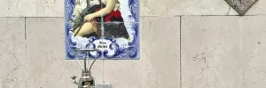
Museu Nacional do Azulejo: You will pass the museum on the way out of Lisbon just a few kilometers from the Sé Cathedral. The blue and white tiled art form, so very characteristic of Portugal, was brought here from Spain in the early 16th century. It was a style that originated with the Arab population of Sevilla as a way to imitate Roman mosaics, and to overcome the Moorish tradition that holds a fear of empty spaces. The Portuguese did the same but quickly changed the mosaic patterns for more figurative themes which allowed them to use the tiles as pieces of a canvas which seem limited only by the size of the building on which they are placed. With the perfection of the technique, the styles represented followed closely the broader influences of the day and it is possible to find examples of the form from Rococo to Art Nouveau.
It is Saint Anthony of Padua that brings the Portuguese out to the streets, every June on the 13th.
The way from the Sé Cathedral is straightforward and well-marked, with the first arrow being located on the lower right of the facade. Between here and the Parque you will pass a few notable waymarks, including the Museu Nacional do Azulejo. A large portion of this city walking can be eliminated by taking the metro to the Oriente station located near the Parque; and from there it is also possible to take a commuter train to Sacavém, Santa Iria, Póvoa, Alverca, or Azambuja.
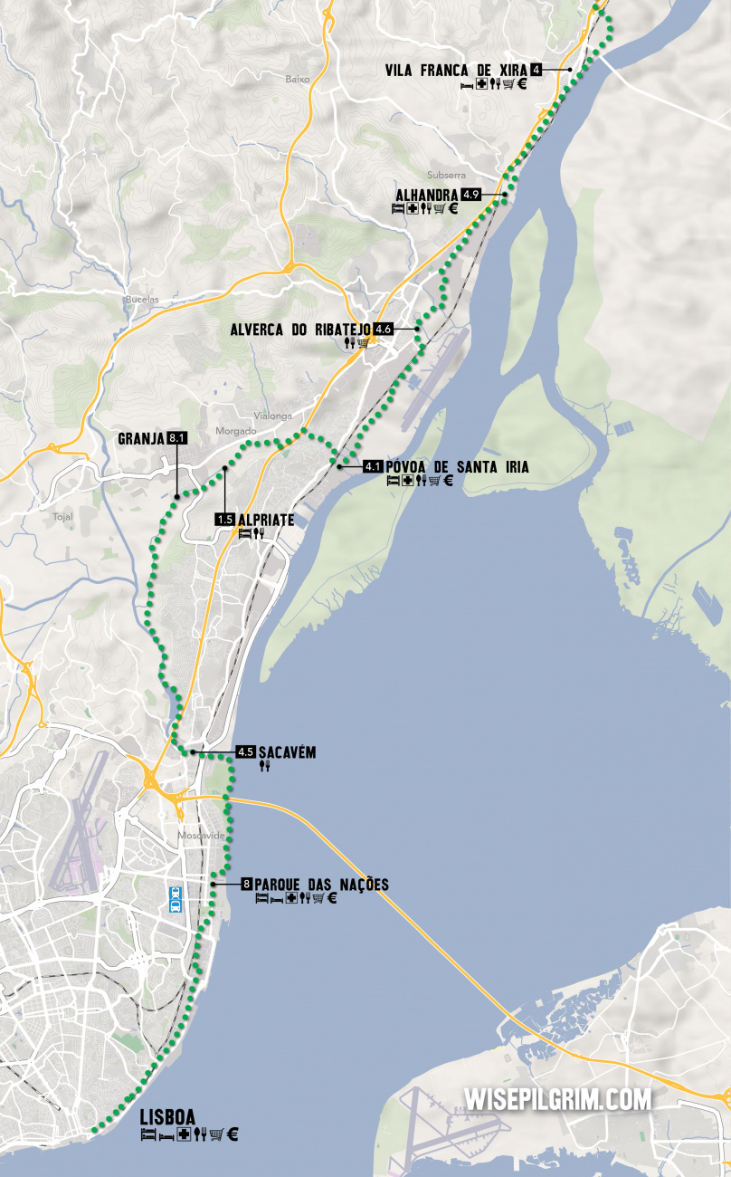
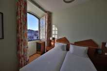
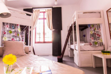
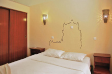
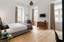
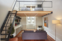
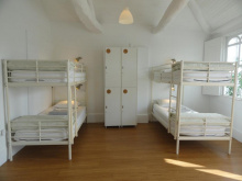
Accommodation in Lisbon.
| Oasis Hostel 15€ 58 Booking.com |
|
| This is Lisbon Hostel 17+€ 34 Booking.com |
|
| Lisbon Lounge Hostel 25€ 32 |
|
| Lisbon Poets Inn 20€ 52 Booking.com |

|
| Living Lounge Hostel 25€ 58 |
|
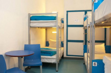
| Pousada de Juventude Lisboa 15/17€ 100 Booking.com |
|
Also known as Oriente, and home to Lisbon’s bus and rail stations, as well as the furthest metro stop near the camino.
As the name suggests, it is a large park and exposition center and was the site of the 1998 Lisbon Expo. It remains a popular spot for locals and makes for the first green space to rest in since leaving the center of Lisbon.
The park here is named after the river adjacent, the Tejo. In English, you have likely heard it as the Tagus, and it is the longest river on the Iberian peninsula. The name Tejo or derivations of it (Alentejo, Ribatejo, etc. ) will be repeated over the course of the next 50km.
There are plenty of services along this stretch through the Parque, but they are all located just off the camino to your left.
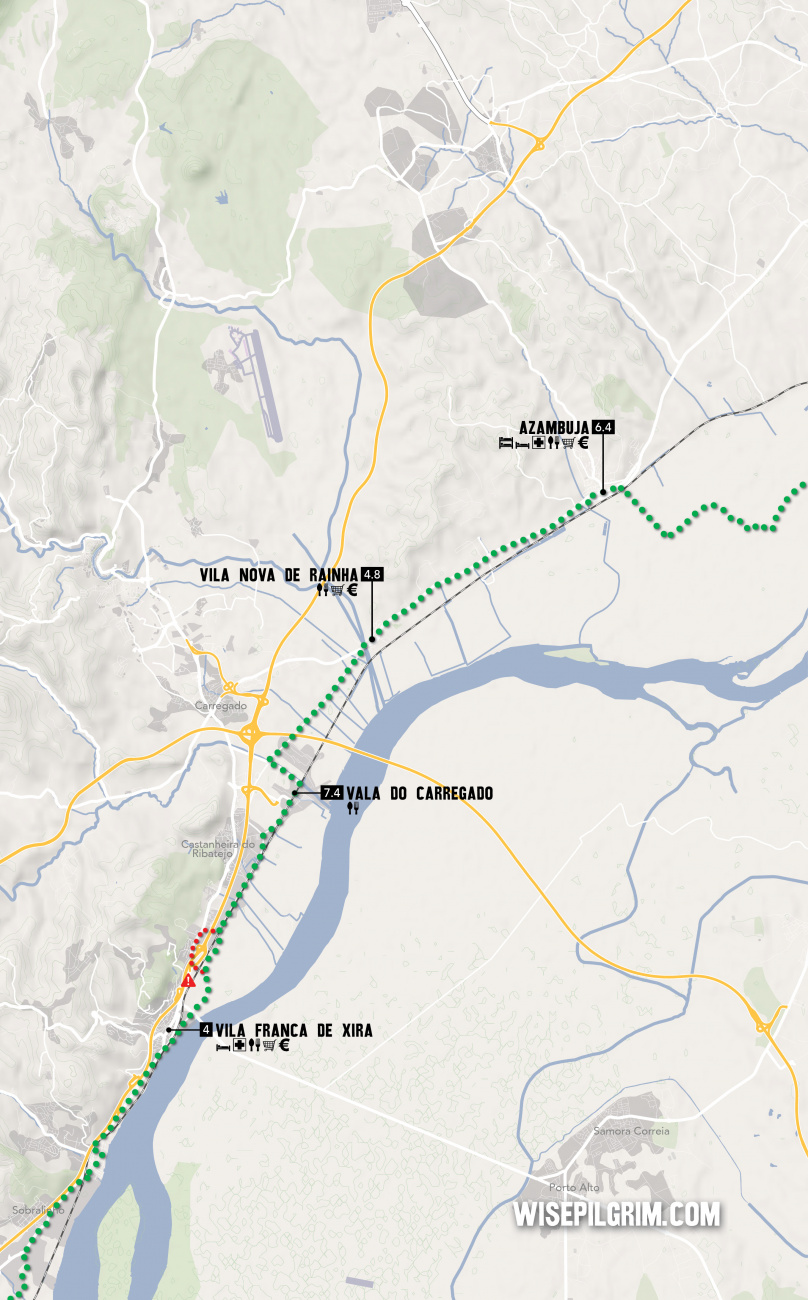
Between here and Azambuja the camino is largely through industrial areas and along the road. If you planned on skipping any part, turn left here towards the Oriente train station and grab the commuter train to Azambuja; it costs about 4€, runs every 30 minutes, and takes less than an hour.
Well marked but not much to look at, the camino turns inland at Sacavém. The park ends in a parking lot and follows a wide joggers path along the canal.
You will follow this canal inland, around a heavily developed hillside along the Rio Trancao, and then back to the Rio Tajo near Póvoa.
Accommodation in Parque das Nações (Lisboa).

Not to be confused as merely a suburb of Lisbon, the Sacavém coat of arms depicts a Roman bridge for good reason; the one they built here remained in use until the 17th century.
NEW RIVER WALK: Where the camino meets the river in Sacavém a new river walk has opened which bypasses Alpriate altogether. Here is a breakdown of services and landmarks along the way:
0-5: Wooden pier
5.4: Exit to train station Santa Iria & grocery/restaurants
6.1: End wooden pier, start of asphalt path
8: Exit to train station Povoa & grocery/restaurants
9.6: Praia do Pescadores, "Riverside Lounge Bar"
9.7: Start wooden pier
10.5: End wooden pier
10.6: Camino through reed
12.3: Reunification with old camino
13.8: Train station Alverca, all services

Póvoa de Santa Iria is a large town that the camino tries unsuccessfully to avoid. There are services here but try to keep to the ones along the camino as the arrows are difficult enough to find without wandering off track.
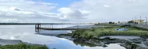
The expectation is that you walk on the left side of the road, against oncoming traffic. For this reason, the arrows are more abundant and easier to see from the left side of the road. Keep an eye out for them on traffic and electric posts.
Alverca was the home of Portugal’s first International Airport until the 1940’s when Lisbon opened its replacement. To fill the void left by its departure, they built the Museu do Ar, which as aviation museums go ranks pretty high. It also has a stamp.
When approaching Alverca, keep an eye out for the Air Museum on your right-hand side. Opposite it is the pedestrian bridge over the railway that you will need to cross over into town.
Follow the arrows and Fatima signs and to the N10. It is a busy road but with wide berms.
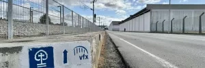
A new pedestrian path in Alhandra has replaced the camino proper, but some arrows and signs remain along the N10. These should be ignored in favor of the river path.
To get there turn right off the N10 and head into town. The path is easy enough to find at the end of town, and it follows the water to Vila Franca de Xira. Blue and Yellow arrows indicate the way.
The pedestrian path keeps along the Rio Tejo into Vila Franca de Xira. The bright yellow bull ring tells you that you have arrived. Unless you need to enter the town, keep along the path. Otherwise, yellow arrows at the bull ring will guide you into and then back out of town to rejoin the path.
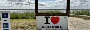

The town's name gives a bit of evidence to the claim that it was settled first by the French followers of Portugal’s first king.
Several bull running/fighting festivals are held in July and October.
The camino goes through the municipal gardens and then under the N10. From this point, the new camino might get confused with the old route. Shortly after the camino passes under the N10, it passes a small factory and then turns right. <<The old route continued straight here and took you over the tracks and back to the busy road.>> By turning right the camino continues along a much quieter and safer path to Vala do Carregado.
NOTE: The old arrows indicating the way over the busy road may still exist.
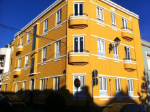
Accommodation in Vila Franca de Xira.
| Hospedaria Maioral |
| Suites & Apartments DP VFXira 13€ 16 Booking.com |
|

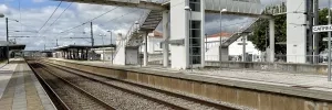
The arrival to Carregado is marked by the train station. At the far edge of town the camino turns left, where the road meets the river. Follow the river 1km and then cross it via the new bridge.
From the bridge, it is 3.5km along a straight road to Vila Nova de Rainha.

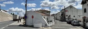
No accommodation, but a pair of mini markets, a bar, a restaurant, and a panaderia.
The camino through town is brief and before long you are back on the N3 national road.
It is more road walking all the way to Azambuja. Remember to keep to the left side of the road.
Azambuja is a medium sized town with all the necessary services.
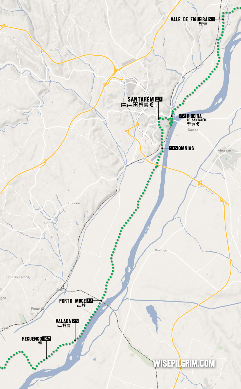
Leaving town means another railway crossing. The arrows lead you to the train station, and an elevated pedestrian bridge (painted blue) gets you over the track and onto the first stretch of country walking for some time. You will be in flat farmland nearly the entire way to Santarém. A few villages and countless large Quintas can be found along the way.
Accommodation in Azambuja.
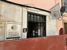
| Albergue de peregrinos de Azambuja 10€ 14 |
|
| Ouro Hotel |
Not to be confused with Ponte do Reguengo if you happen to have taken the train. There is a bar in town, the Cafe Campino.
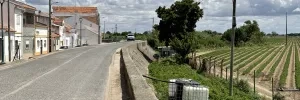
At the start of town, the road ascends slightly to the top of the embankment that separates these lowlands from the nearby river. Follow the road.
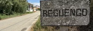
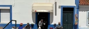
Several bars and small shops, as well as a BP gas station (with overpriced food-like stuff) at the start of town.
Keep on the same course along the embankment to Porto Muge.
Accommodation in Valada.
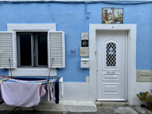
| Albergue Dois Caminhos 20*€ 6 |
|
| Casal das Areias |
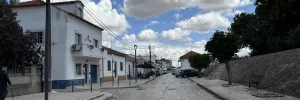
One bar and some picnic spots in town. Recognizable for the large bridge that crosses the river.
At the end of town, the paved road gives way to a rural farm road. It is a clear path all the way to Omnias.
Stock up on water here, 13+ km of nothing ahead!
Accommodation in Porto Muge.
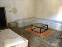
| Quinta da Burra 20*€ |
|
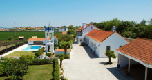
| Quinta da Marchanta Booking.com |
|
| Quinta das Palmeiras |
Turn left to cross under the railway.
The climb ahead is a welcome change from so much flatness. Santarém is at the top. Turn right when you get to the main road in Santarém and continue straight until arriving at a large roundabout (actually a big oval). There are multiple routes through town.
Santarém boasts an incredible number of Gothic churches, no small feat given that it has been struck by multiple earthquakes and a Napoleonic invasion. The best architectural examples (not all Gothic) are the Sé Catedral, the Convento de São Francisco, the Igreja do Santissimo Milagre (itself a pilgrimage destination), the Torre das Cabaças (with the Time Museum), the Igreja de São João de Alporão (with an eccentric and empty tomb for the lost-in-battle Duarte de Meneses), and lastly the Porta do Sol and old Castle of Santarém which is now a city garden and the doorway out of the city along the camino.
Santarém, the Capital of the Portuguese Gothic, has been a favored city by rulers since Julius Caesar set up a military camp here in 61 AD.
São José is celebrated on the 19th of March.
The exit to town can be difficult to find via arrows and it is best to make your way to the Porta do Sol gardens that are part of the old Moorish castle.
As you approach the gardens, there is a small flight of steps on your left-hand side. Turn down those to a small square and the Puerta de Santiago is on your left. Pass through it and pick up a dirt trail that takes you around the old city walls and down to the village of Ribeira de Santarém.
Accommodation in Santarém.
| Pensão Coimbra 15€ 4 |
|
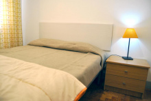
| Tagus Host Booking.com |
|
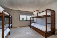
| N1 Hostel Apartments and Suites 20€ Booking.com |
|
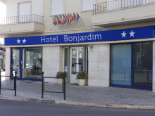
| Hotel Vitória ★★ Booking.com |

|
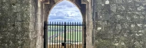
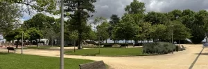
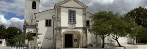
After crossing the tracks in Ribeira de Santarém, the camino takes a few turns before arriving at the Ponte do Alcorce.
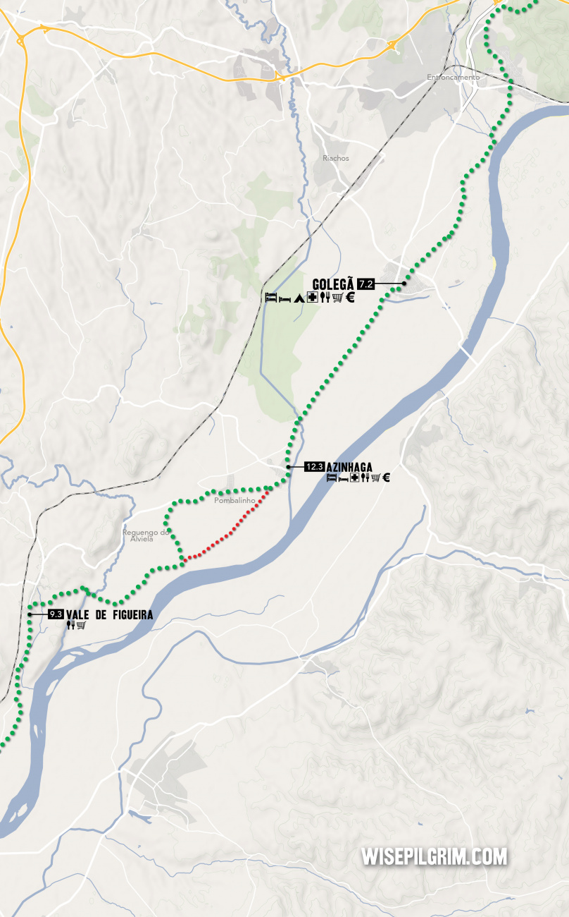
Cross the bridge, and a short distance on keep right to follow the road. Exactly 1km later, turn left off of the road, and then right again 200m later. The camino takes a few turns but is well marked all the way to Vale de Figueira.
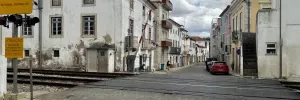
Keep on the main road until turning right onto Rua do Sobaral (two streets past Church).
At the first three-way intersection (Y-shaped), keep left. At the next, keep right (with the forest on your right).
The markings from here to Azinhaga are confused and quite possibly misleading; mostly to do with uncertainty at a municipal level as to exactly where the camino should be, and also because frequent flooding in the area make the original way difficult. The arrows will always get you to Golegã, but there is a possibility that they take you through Pombalhino first.
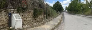
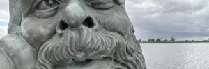
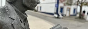
The very literate looking bronze man in the square is Jose Saramago, the ‘98 Nobel-laureate and son of Azinhaga.
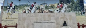
The camino follows the main road all the way to the end of town where there is a roundabout with a bullfighter statue in the center. Keep straight here, passing through Broa.
Turn right at the next T-intersection and follow the road all the way to Golegã.
Accommodation in Azinhaga.
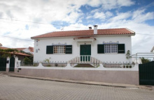
| Casa de Azzancha 35€ 15 Booking.com |
|
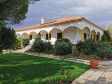
| Casa das Portas Booking.com |
|
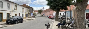
The most prominent building in the center is the BIgreja Matriz, whose main portal is nothing short of spectacular.
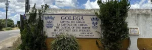
Golegã is often considered the horse capital of Portugal and several tournaments are held here to celebrate the Lusitano breed.
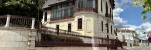
When entering Golegã, arrows indicate a right turn on the first street. DO NOT take that road. Instead, take the next. You will arrive in the same place (the main square and church), but you will get to see the impossibly beautiful building that is the Cphotography museum and studio of Carlos Revas.
Two horse fairs are held every November.
There are confusing arrows leading you the wrong way out of town by way of Rua Dom João IV. Ignore these and instead find your way to the front of the church. Walk around it via the square with the bullfighter (your left). Turn left on that road, and then right again. Follow the road all the way to, and through, an intersection with the N243.
Accommodation in Golegã.
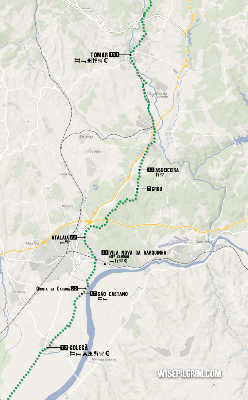
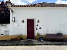
São Caetano isn’t much of a town at all. There are a small park and an excellent albergue, but not much more.
The albergue is on the right, opposite the small school building.
Accommodation in São Caetano.
| Albergue Casa São Caetano 35**€ 7 |
|
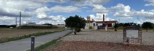
The Quinta is an abandoned palace that has been boarded up and left to be. Apart from the usual graffiti, it has gone untouched. With zero inhabitants this is an excellent spot to rest in the shade or explore a bit.
Leave town by passing over the bridge and turning left. The path with take you all the way to Vila Nova da Barquinha, passing the small hamlet of Pedregoso along the way.
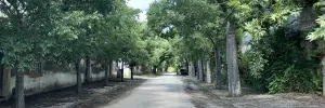
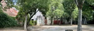
Services, but NOT on the camino. Nice historic quarter along the river and a suitable place to spend the night or even just the afternoon in the park. Turn right at the main road to get there.
Saint Anthony is celebrated on the 13th of June.
The camino crosses the main road and then crosses the railway before heading out of town. It does NOT enter the town. After the tracks, keep mostly straight at the roundabout. The way is well marked.
Accommodation in Vila Nova da Barquinha.
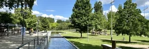
The bar is along the camino at the far end of town.
Keep on straight through town, following the road. It will veer to the right and begin a short climb to the church.
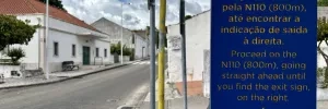
Keep on straight again beyond the church along the N110 but keep an eye open for where the camino departs from the road along a track through the forests on your right.
Accommodation in Atalaia.
| Casa do Patriarca | 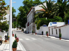
|
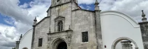
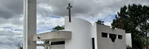
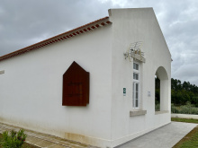
There appears to have been a trend for stylish modern churches some decades ago and Grou built a curious one of its own.
Keep on the country lane past the church. You will pass a dirt football pitch that has been re-purposed as an off-road track for dirt bikes, and the road will descend into Asseiceira.
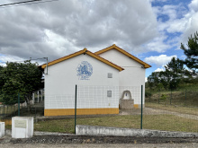
Your choice of bars in town, and two small shops.
Keep on the paved road out of town, it will rejoin the N110. From here to Tomar things can get a bit hairy, so be on the lookout for arrows.
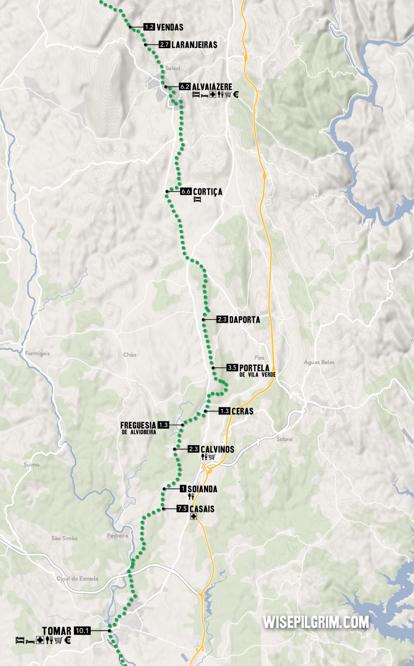
Stay on the N110 until the first roundabout at a point where it joins the larger A13; at this point you cross under the A13. Once on the other side, at the roundabout, the basic strategy is to keep straight on uphill (towards the "Zona Industrial") rather than turning right to stay on the N110 (though if you did that you would eventually arrive to Tomar, so don't fret). On your way up the road will level out and cross over the railway which parallels the N110 into Tomar.
Immediately after crossing the railway, look to your right for a dirt trail and when you spot it, turn right and follow it. At this point the railway is to your right, and beyond it is the N110. You will pass a few small hamlets strung along the road before rejoining the N110 into Tomar.
Accommodation in Asseiceira.
| Albergue D. Dinis 10€ 5 |
|
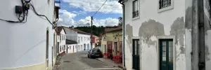

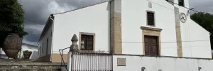
Tomar is a large town with all services and plenty of accommodation options. It makes for a good stopping point and offers a full afternoon of exploring. A climb will get you to the Convento de Cristo, a 12th century Templar castle which is absolutely worth the visit. The other building of note is the Synagogue of Tomar, whose use as a Synagogue lasted from the early 15th century until the Jewish population was ‘recategorized’ as Christian at the end of the century. It was subsequently a prison, a Christian chapel, and a storage warehouse. It now functions as a Jewish museum and is one of a small number of pre-expulsion synagogues still in existence.
Tomar has a rich history connected to the Knights Templar in Portugal. It was their order which saw the construction of the Convento do Cristo, though one suspects it didn’t get that exact name until the Templars were dissolved and the stronghold fell to the Knights of the Order of Christ. Both were military orders, and although the name of the order changed, many of the members did not. Both are buried in the DChurch of Santa Maria do Olival on the other side of the river.
To leave town cross the river over the Marques do Pombal bridge (it is a single lane bridge with a pedestrian path, and you will be going against the car traffic). Turn left at the start of the Alameda, left again onto Joao dos Santos Simaos, and then right onto Avenida Doutor Egas Moniz.
Just past the bullring turn left and then right slightly. Not far ahead you will pass the very prison-like (literally and metaphorically) Infantry Barracks.
The road gives way to a country trail and in a short distance arrives at the locally renowned Ponte de Peniche.
Keep straight at the junction after the bridge, and continue to cross under the IC9, keeping to your left after doing so. It is pleasant country roads through planted forests.
At the first paved intersection (a four-way intersection 3km after passing under the IC9), turn right onto the road. Follow it to the first fork and veer right into Casais.
Accommodation in Tomar.
| Residencial União 30*€ 60 Booking.com |
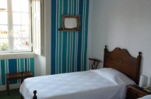
|
| Hostel 2300 Thomar 22-25€ 28 Booking.com |
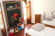
|
| Residencial Luz Booking.com |
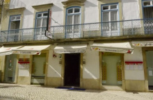
|
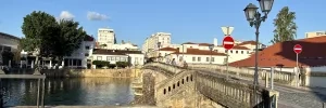

Keep on through town, turning left towards the church and curiously large cemetery and back onto the road into Soianda.
Passing through Soianda is a straight shot, with the only real choice of direction at the far end of town. Turn left when you get there.
There is a steep grade ahead, first down and then back up into Calvinos. The road signs indicate a 10% grade, so take your time and if you are out of breath by the end, it is to be expected.
Keep more or less straight into town, through an offset intersection.
Turn right at the next intersection to follow the primary road.
The next ‘square’ has a bar and a mini-market. Turn left there to leave the main road and head back into the countryside.
Accommodation in Calvinos.
| Albergue de Calvinos 8€ 10 |
|
You will emerge into the minuscule Freguesia with its modern church.
Turn right before the church, and then left again and just like that you have left Freguesia behind. Quiet lanes will bring you to Ceras where you join the main road.
The camino takes you mostly around Ceras, and as you approach the town, it will be on your right-hand side.
At the first T-intersection turn right (towards the main road) but left again on the first street. The idea here is to keep off the main road as much as possible and in 100m on you will have to turn right towards the road again.
Turn left onto the IC3 and follow it for 250m, at which point the camino leaves the road via a path on the right.
Once on that path, you will turn left to cross a stream and then turn right again, and at the next intersection turn right again to take you past a ranch; at this point, you will be walking away from the IC3 and back into the forest along a dirt path.
NOTE: The next intersection is poorly marked. 1.2km from the ranch the trail you want turns left at a fork and up to the ridge but is poorly indicated. If you get to a 4-way junction, you have gone too far. Fact: this is the eastern most point of the Camino.
Turn left up that trail and you will eventually pass through Portela de Vila Verde.
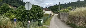
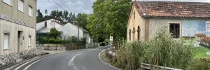
Pass straight through Daporta and at the first 4-way intersection (after passing through town) turn left onto a dirt road. The junction can be identified by the utility building with a blue door on your left. The path turns back on itself and climbs uphill before entering a cork plantation which transitions into a eucalyptus forest.
The forest is well marked and pleasant walking. It is about 2.6km before you arrive at the first large intersection with the main road. At this point, you are technically in Tojal, but there are no houses. Up the road on your right is a gas station.
Cross through this intersection and carry on straight in the direction of Alvaiázere (centro). You will be on a paved road all the way to Cortiça (3.2km), passing olive groves along the way.
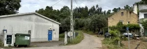
Turn right at the church that looks like more of a mini-castle, leaving the main road for a smaller country lane.
You will pass the small hamlet of Oueteiro da Cotovia (it won’t feel like you left Cortiça) and at an intersection marked Outeirinho to the left, turn left.
Pass through Outeirinho, turning right then immediately left again once you get there.
Then you will pass through Feteiras and Portela da Feteiras, all before arriving in Alvaiazere.
Accommodation in Cortiça.
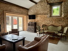
| Albergaria Quinta da Cortiça – Casa da Torre 27*€ 14 |
|
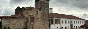
A small town but with plenty of services, it is the first in a while that has suburban sprawl (however minor it is).
Along the bike path at the "upper" part of town you will find O’Bras, and at the end of the road is the church and albergue (with laundromat beneath) as well as a restaurant.
The names of Alvaiázere, and Alvorge further along the camino (as well as a great deal of other words beginning with "al-", both derive from Arabic. In the case of Alvaiázere it derives from ‘the falconer’ and in the case of Alvorge it comes from ‘the tower’. The tower is long gone, but the falcons may still be found.
There are several roads out of town, but the camino is well marked. Still, pay close attention to the arrows and if you are a pre-dawn walker, you are advised to check it out in advance.
Leave town by way of the road in front of the church, turning right at a B large palm tree.
Accommodation in Alvaiázere.
| Albergaria Pinheiro's 15€ 20 |

|
| Residencial O Brás Booking.com |
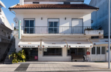
|
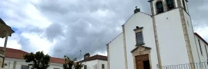
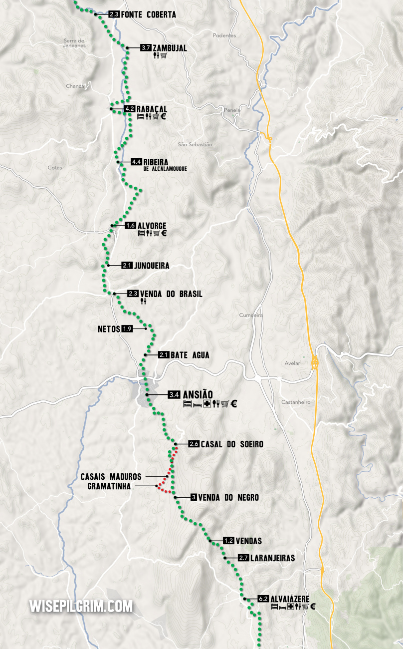
Pass straight through Vendas. There are several signs leading you into it, but once you get there, they vanish or are poorly placed. Keep on straight through the hamlet, passing many houses in ruin. By the time you reach the top of the hill, you are at the end of town. From here the camino keeps to the right and down a path.
There are several turns before arriving in Venda do Negro, all well marked.
Accommodation in Vendas.
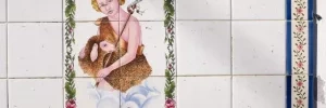
Following the road for 100m to the first bend reveals several dirt tracks to the right and a broken camino sign. It is of the post-and-tile kind, and the tile has been removed. The desired track is the rightmost one.
You can alternatively take the road, which is marked with the old camino arrows to Gramatinha, and then to Casais Maduros.
The dirt track that you turned right on will take you to the road and to Casal do Soeiro. Several more arrows along the way are missing, but the way is clear when you remember that you should NOT walk on the road. Several pleasant tracks bypass the road all the way into town. On particularly wet or rainy days, there is no harm in sticking to the road so long as you mind the minor traffic.
Pass straight through Venda do Negro, turning left at the fork in the road at the far end of town.
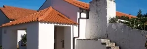
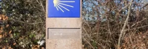
In the village, turn right onto the road that shows Casal Maduros and Casal do Soeiro.
Coming into town along the road is OK, but once you get there you will find that the arrows have been removed. Turn left after the church; the camino rejoins the trail in 20m and the country track resumes.
It is pleasant walking along these trails. When you emerge onto the main road, there is a sign on your left indicating Ansião and another on your right indicating Loagoa da Ameixieria.
The center of Ansião is still 1.3km away, turn left to get there, but read carefully the notes about what to do next.
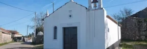
Plenty of services in town, including the excellent Adega Tipica restaurant. The Solar da Rainha is 600m beyond the rivver crossing at the far end of town.
Where the camino arrives at the main road into Ansião it DOES NOT follow the road.
Instead, it turns left onto a side trail and bypasses the road traffic. The turn off is poorly marked but can be identified by the very small capilla that abuts the road.
The Ascension is celebrated on May 25th.
Leave town across the Ponte da Cal, over the Rio Nabão (whose river-like qualities vary with the season).
The camino takes you through the outskirts of Ansião; passing some suburbs and a large soccer field. The signs are visible all the way to Bate Agua.
Accommodation in Ansião.
| Pensão Adega Tipica 29€ 30 |
|
| Residential Nova Estrela |
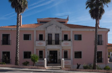
| Solar da Rainha 29*€ 30 |
|
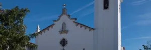
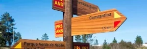
The camino in Bate Agua is marked in two directions: the old way along the road and the new way through country paths, much like the options when leaving Venda do Negro.
The preferred path is always the one that takes you away from motorized traffic. In Bate Agua, that means keeping on straight when you get there (the other option being to turn left and follow the old arrows along the road into Netos; a viable option and perhaps the preferred one if there have been heavy rains). Arriving at the first fork, turn left and immediately left again onto a footpath. You will rejoin another small road in a short distance, turn right and follow the curve of the road but you don’t stay on it long so keep an eye open for where the trail diverges again on your left. At the next intersection with a dirt track, turn left and then keep right at a fork a few meters on. This will bring you to a paved road where you turn left and walk into Netos.
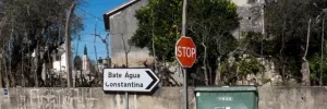
Pass straight through town, turning left at the last house.
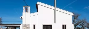
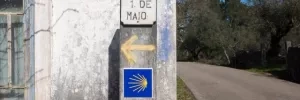
Gas station with café.
Avoid the temptation to follow other pilgrims that might be turning right at the large intersection in Venda do Brasil, faded arrows and older guidebooks describe that as the way. The safer and more pilgrim friendly option is to keep on straight past the gas station on your right-hand side.
150m beyond the gas station a gravel road marked Casais Granja takes you up uphill.
At the first fork keep right.
At the next T-intersection turn right.
At the next fork turn right.
And then shortly after turn left to go behind a house.
The camino rejoins the main road briefly, only to turn left off the road again.
This is the new camino, and it avoids both the road and the next town of Junqueira even more than the old camino. Shortly before arriving at Junqueira it turns off to the left once more and back onto a gravel track.
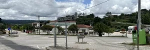
The new camino does not enter Junqueira, but if you have arrived here via the road, turn sharply left at the start of town, at the small bus stop, and then right onto the first gravel path.
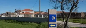
A new albergue in town, located in the basement of the community center. ATM and mini market in the first square you get to. Friendly bar.
This gravel path is part of an old Roman road, and the arrows have disappeared. Just keep on straight. When it arrives at a paved road, turn left. But DO NOT stay on this road all the way back to the N347. The arrow is gone, but when you get to a curve in the road, the track to the right is the one you want. That curve in the paved road is 300m from the visible N347, so if you get as far as the main road, you can either retrace your steps or walk the N347 into town.
The tower which gives the town its name (from the Arabic Al Burj) is no more.
Facing the crucifix side of the church, turn right towards the main road (newly cobbled) and turn right onto that road. You should now have a large modern building on your left (the community center and albergue), and you will be going downhill. Continue to the first road and turn left there, downhill.
The camino will bring you to the N347, which you follow to the left for a very short distance.
It then turns right onto a gravel path.
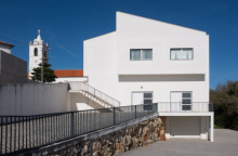
Accommodation in Alvorge.
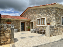
| Albergue O Lagareiro 15€ 10 |
|
| Albergue de Peregrinos Alvorge Donativo€ 10 |
|

This gravel path is part of an old Roman road, and the arrows have disappeared. Just keep on straight. When it arrives at a paved road, turn left. But DO NOT stay on this road all the way back to the N347. The arrow is gone, but the track to the right is the one you want. That curve in the paved road is 300m from the visible N347, so if you get as far as the main road, you can either retrace your steps or walk the N347 into town.
Keep on the N347 out of town. This road leads directly to Rabaçal, but the camino enjoys a parallel path.
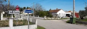
Just out of town turn right onto a track that is directly opposite the road towards Vale Florido. Shortly after turn left just before a cluster of buildings, and 150m later turn left once more.
You are now paralleling the N347 that you left just a short while ago and the trail will take you to Rabaçal.
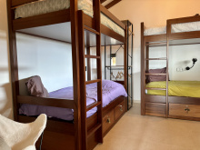
Accommodation in Ribeira de Alcalamouque.
| Casinha da Lima 32€ 4 |
|
There is a Roman Villa (what remains of one) to the north of town, if you are staying in town it makes for a good afternoon trip of about 800m each way.
There are no services along the next 11km to Conímbriga. Stock up in Rabaçal, the night before if you have to.
Keep on out of town along the road and turn right where indicated in the direction of the Castelo de Germanelo. A turn to the left appears 900m down this road. Turn there and follow a well-marked set of trails all the way to Zambujal.
Accommodation in Rabaçal.
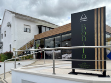
| Albergue O Bonito 15€ 14 |
|
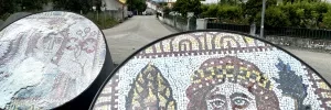
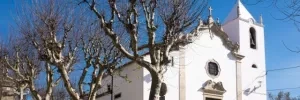
Keep on the camino through Zambujal, with the church on your right. Shortly after at a fork, keep to your left. Keep on this trail, crossing the N347, and into Fonte Coberta.
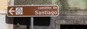
At the end of town the signage has been improved, and a picnic area has been built but the fountain has not been connected. Turn left here and onto a track to Poço.

Pass left through Poço and descend through the forested hillside all the way to the museum and ruins of Conímbriga.
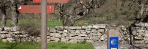
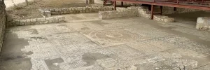
Conímbriga is not a town as much as it was a town; in fact, it was quite important to the Romans whose footprint still exists here.
Allow for some time to explore the museum, the only option for food or drink is in the visitor center.
Leave by way of the road that exits the site. Turn right at the first intersection, heading straight towards and underneath the highway.
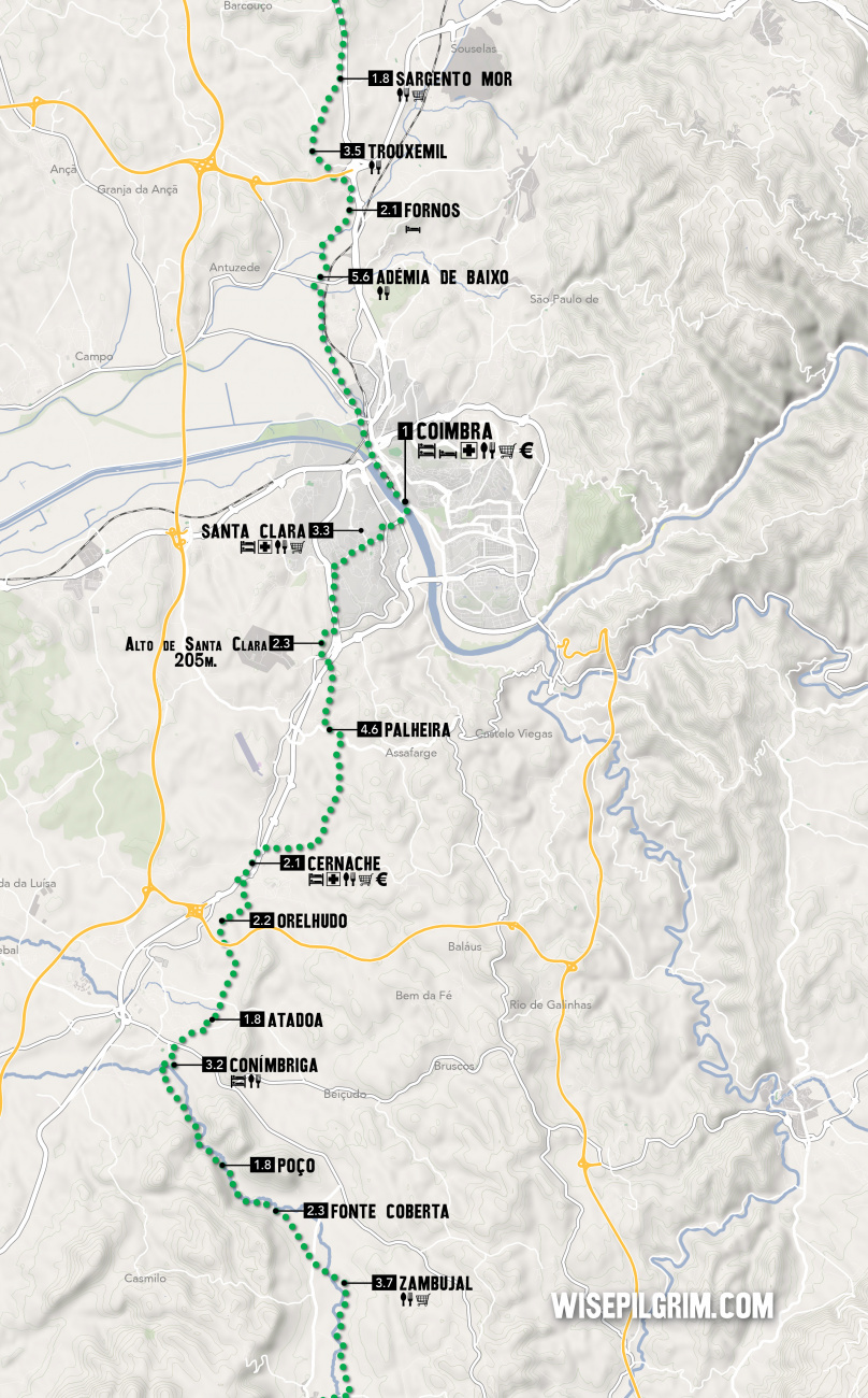
Once past the highway, you will pass a series of hamlets (Valada, Atadoa, Orelhudo, Ribeira de Casconha, and Casconha) before crossing back over the highway and arriving in Cernache. Along the way, only Casconha has a bar.
Accommodation in Conímbriga.
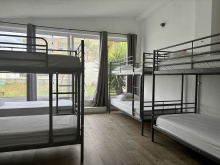
| Albergue privado de Conímbriga 15€ 10 |
|
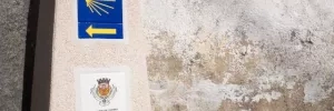
At or around Orelhudo a new type of camino marker appears. They are beautiful but not bountiful, always appearing at the beginning and sometimes at the end of town but seldom in the middle. Arrows will keep you on the camino in between them.
To leave town, continue along the road you came in on, past the church, to the roundabout with the clinica.
Turn right there and pass under the N1 highway. Turn left at the next main road and follow it to the town of Pousada. In Pousada turn right past the church and then left onto the dirt track. The dirt track continues quietly for 2km before arriving at a series of industrial buildings. Turn left at the bus stop, and head into Palheira.

Bigger than the average village but with no services for pilgrims.
The way through town is well marked, as is the way out.
After crossing the N1 turn right, then left both times in the direction that takes you uphill. When you get to a T-intersection, take the steep path straight ahead, up to the Alto de Santa Clara.
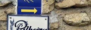
Arrows lead you easily out of town, and steeply downhill to an intersection where you turn left to follow a road parallel and immediately adjacent to the highway. The camino crosses over the highway and passes underneath an arch of the Roman aqueduct. You will shortly come to the suburbs of Santa Clara.
At the large SANTA CLARA roundabout turn right. Stay on this road until the next roundabout, crossing it to exit the opposite side.
Stay on this road; it will curve slightly to the left. At the next intersection, turn left to leave the primary road for a secondary one. It will take you downhill past the church of Nuestra Senhora da Esperança and to the Albergue and Convent of Santa Clara (3.3 from the Alto de Santa Clara).
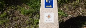
Follow the winding cobbled lane downhill all the way to the bridge into Coimbra.
Accommodation in Santa Clara.
| Albergue de Peregrinos Rainha Santa Isabel ??€ |
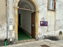
|
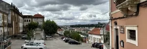
Coimbra is the third largest Portuguese town along the camino and offers all services and numerous accommodation options, but no pilgrim specific albergues yet... apart from the Santa Clara Convent on the other side of the river.
If you are not staying here, avoid the temptation to skip the route through town; a bit of exploring is in order. Afonso Henriques, first King of Portugal, was born here and is buried in the Monastery of Santa Cruz. The same is true for his eldest son Sancho I. It has two Cathedrals, distinguished with the names Sé Nova and Sé Velha. The Old is very Romanesque, and the New is Baroque and Mannerist and adorned with statues of St. Ignatius, St. Aloysius Gonzaga, St. Francis Xavier and St. Francis of Borja. The Saints were placed by the Jesuits who built (started) the church, but once they were expelled from Portugal it became the Cathedral and was completed with Peter and Paul getting top billing.
Coimbra was the capital of Portugal during the 12th and 13th centuries, it lost prominence to the port of Lisbon but gained instead the University of Coimbra which remains the oldest university in the Portuguese speaking world.
Fireworks on the 4th of July, in celebration of Queen Elizabeth of Portugal.
If you are keen to pass through Coimbra, turn left after crossing the bridge and begin following the river walk. It will pass underneath the highway and then veer right to parallel a canal (on your left).
Stay on this paved road through a roundabout and soon you will have a different canal on your right. It remains a straight road until just before Adémia da Baixo, where it turns left. Cross the overgrown Rio Velho to the right into Adémia.
Accommodation in Coimbra.
Cross the bridge over the canal which you have been walking along and you are in Adémia de Baixo.
In Fornos, keep to the left at the first fork (a big garage door with blue tiles above). Cross a roundabout and turn uphill all the way to Trouxemil, passing underneath the A1.


Pass straight through Trouxemil on the main road. The town is spread out along the road to Sargento Mor which is also spread out along the road. Continuous asphalt the whole way.
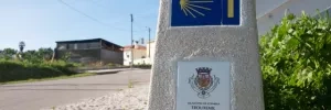
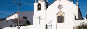
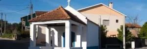
A bar and two mini markets along the main road. Follow it all the way to Santa Luzía.
The camino leaves the road at the start of town near the restaurant Manuel Julio.
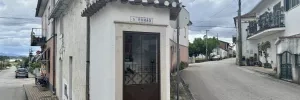
Be careful not to follow the old camino arrows which have you follow the N1.
Turn left off the N1 at the start of town. DO NOT stay on the road to Lendiosa.
The camino leaves the N1 and paved roads and into a eucalyptus forest. It will take you to Lendiosa by way of Mala.
When the camino emerges onto a paved road, follow the arrows to the right and into Mala.

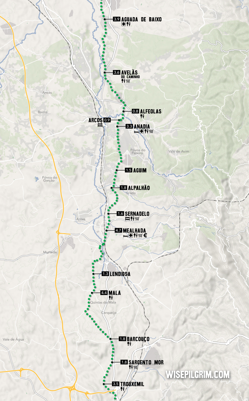
Turn right at the start of Lendiosa, at the bus stop. The arrows lead you to a road which ends into a trail. This trail will take you to the outskirts of Mealhada, via a roundabout with a statue of Bacchus seated atop a wine barrel.
Vegetarians avert your eyes, Mealhada is Portugal’s center of leitões (suckling pig).
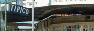
The camino leaves town along the highway towards the suburb of Sernadelo where the private albergue is located. The arrow for the turn-off from the main road is not easy to see but can be recognized for the Restaurante Tipico with its massive awning.
Accommodation in Mealhada.

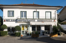
The albergue known as Hilário is in Sernadelo and is located just past the turn that takes you off the main road to the right. See map on the previous page.
Accommodation in Sernadelo.
| Albergue de Peregrinos Sernadelo - Hilarios 12€ 12 |
|

Follow the camino around the church and onto the road to Aguim.
The way from Aguim to Anadia is well marked and clearly understood, with one exception: when nearing Anadia along the road, an electric pole on your left has some wiggly looking arrows which suggest that you jog left then right to go into the woods. This was once the way and will still get you there, but the official arrows point you straight along the road.
In either case, turn left when you get to another road some 400m from this confusing point. This will take you around the newly built sports complex. On the other end keep on the road; turning left at the first roundabout, left at the second roundabout, and right at the third; all are well marked.
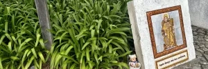
If you wish to go into Anadia, go straight at the second roundabout mentioned above. The part of Anadia where you would find services is not directly on the camino. Otherwise, keep to the arrows into Arcos (2.2km from the sports complex).
Accommodation in Anadia.
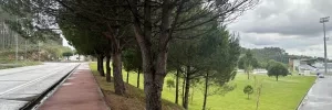
The arrow through Arcos is at the base of the church. Turn right at the church, around a bend, then left. Alfeolas is near.
Accommodation in Arcos.
| Centro Social de São José de Cluny Donativo€ 48 |
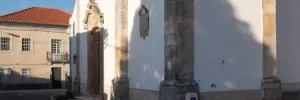
Alfeolas has a nice bar. The town can be seen in two parts: the first is the old town and it leads into the newer modern half which is mostly commercial/industry.
The new half is divided by the busy-ish N235 that you must cross. Once across, turn left and walk through a walled residential area. Following the arrows will then lead you through a small industrial area.
The way is asphalt all the way to Avelãs. You will join a busy road for only a small stretch at the start of town.
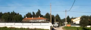
Most services are along the road at the start of town, opposite the church.
Leave town on the opposite side of the N1, turning left at the chapel with the bust of Henrique Maroues Moura. A maker here proclaims rather incorrectly that it is 303km to Santiago.
Between here and Aguada de Baixo is a string of hamlets (no service) and a chapel in São João da Azenha.
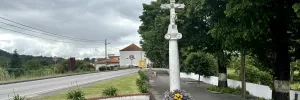
Several bars along the narrow road through town, and a pharmacy at the end near the church.
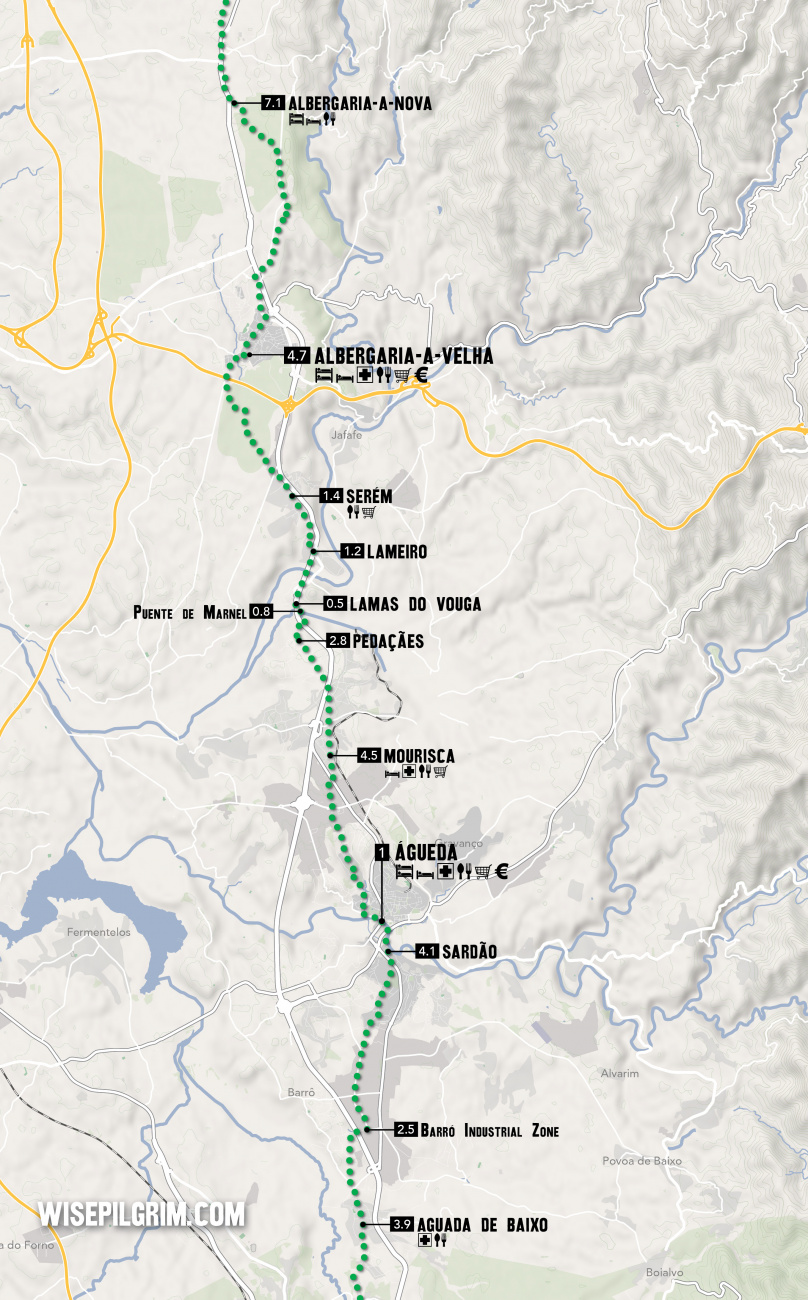
Keep on straight through. Along the way, you will cross several surface roads and under the highway. The going is along asphalt the whole way. You will also pass through the Barró Industrial Zone, which is 4.1km from Sardão.
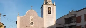
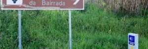
Sardão is a short strip of road stuck between the river and the road; it has seen better days. Once through cross the road towards a new pedestrian bridge. A second bridge brings you into Águeda.

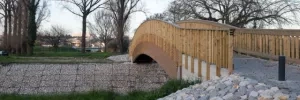
Plenty of services in town, but not quite as many accommodation options as you might expect. The albergue and Celeste are not centrally located. To get to them head straight up the hill from the end of the bridge passing the Parque Alta Vila along the way. The Parque is the best place in town for a rest.
Like Coimbra, you do not need to go into town and can instead turn left at the end of the bridge. The neighboring town is Paredes, which is residential. The going is uphill, and the residential areas continue beyond the railway crossing.
There is a brief industrial stretch before crossing a busy road into Mourisca.
Accommodation in Águeda.
A few bars in town, of them Pompeia has wifi. When walking through town, take note of the beautiful homes along this straight stretch of road, many of which are abandoned and in a state of slow decay.
At the far end of town, you will cross the N1 into Pedaçães.
Accommodation in Mourisca.
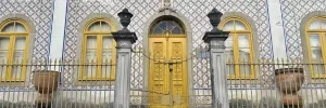
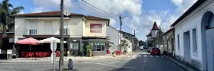
Though you passed the sign for Pedaçães immediately after crossing the N1, the town itself is still 1km away. Straight ahead through residential areas.
At the end of town, it is downhill and back across the N1 to the Roman Ponte do Marnel.
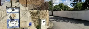
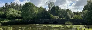
The bridge over the river here is a beautiful sight in the early morning. It dates from Roman times and crosses a part of the river that has been turned into a small reservoir because of the N1. There are two small islands in the middle with picnic tables.
After crossing the bridge turn to your left and go back under the N1 into Lamas.
There is little of mention in Lamas but the view from the church, and the church itself, make the climb worthwhile.
The arrows at the end of Lamas are quite poor, and the old arrows can lead you on a needless hike to a washed-out bridge. After descending back to the level of the N1, turn right towards it. You will walk along it, sticking to the left-hand side, across the Rio Vouga.
On the far end of the bridge turn left into Lameiro.
Turn left into this hamlet after crossing the river along the N1. No services, just homes.

The bar and mini-market are one and the same, and on your right, as you pass through town.
At the end of town you enter the eucalyptus forests again on a wide track. It is a nice walk amongst the trees, and in 2.5km you will return to traffic in Asseilho. Cross over the A3 here and Albergaria-a-Velha is straight ahead but still over 4km away.

Plenty of places to eat, sleep and shop, and a few shaded parks to relax in.
The camino through town does not take you along the best path. The recommended route which allows you to see the city center continues straight from the roundabout.
Beyond Albergaria, the camino enters a forest. It emerges to the road a few times and leaves it a few more. The longest stretch of the road is the bit immediately following the Nossa Sra do Socorro (see statue below).
The camino crosses railway upon entering Albergaria A Nova.
Accommodation in Albergaria A Velha.
| Albergue de Peregrinos Rainha D. Teresa 8-20€ 31 |
|
| Pensão Restaurante Parentes |

There is a bar with odd hours but a gas station with a small shop suitable for drinks in an emergency.
At the far end of town, just past two bus stops that face each other, leave the N1 to your left. From here you will remain on this side of the N1 until reaching Pinheiro da Bemposta. The way is nearly continuous development but no services. You will pass Laginhas, Escusa, and Coche. At Coche, you begin following along the railway on a small dirt path.
Accommodation in Albergaria A Nova.
| Albergue Albergaria-a-Nova 12€ 30 |
|
Accommodation in Branca.
| Albergue Casa Católico Donativo€ 18 |
|
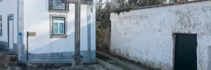
The bar is in the main square, near one of the many covered crucifixes, or Cruzeiros, that appear along this way.
The camino crosses the N1 by way of an elevated pedestrian walkway and heads straight to Bemposta. There is a pharmacy in Pinheiro, but it is along the N1. To get there cross the walkway and then turn south. Otherwise, continue straight off the walkway.
Accommodation in Pinheiro da Bemposta.
| Watermill Moinho Garcia 16€ 11 Booking.com |
|
Bemposta represents a curious turn in the camino from what would be a natural course north. After crossing the N1, you climb to the historical center of town and then back down to the N1 by passing underneath a house (well marked). At the N1, you cross back over. The road turns right (now heading north) and through a mixture of residential and industrial buildings in the area known as Besteiros/Travanca.
This area is heavily developed and although traffic is not excessive it is seldom aware of pilgrim traffic. Keep your wits about you.

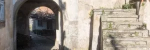

There is nothing particularly tricky about this section, but the turn off only has one arrow and the camino path is an unlikely one. If you miss it and get to the junction with the busy N1, you have gone too far, but there are old arrows there which might convince you otherwise. RETRACE YOUR STEPS, DO NOT FOLLOW THE ROAD.
The turn off is on your right, steeply up what might be considered the driveway to a house. Behind the house are the now familiar railway and the camino turns left to pass under the bridge. It follows the railway for a short distance before turning left onto a gravel track. This turn off is evident.
NOTE: This is an ACTIVE railway.
After the railway crossing, turn right at the first intersection. This road will take you upwards and over the highway at a large half-cloverleaf intersection. It then descends. At the first intersection turn right.

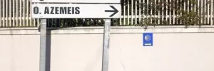
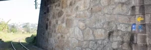
Carry on straight from here. The road ahead turns left at a railway, but cross those and continue up a cobbled stone path. Turn right at the top of that path.
From here it is straight, and uphill, all the way into Oliveira.
The path through Oliveira is straight and straightforward. In front of the church is one of the original 200 or so granite camino markers that are common in Galicia. It too lacks the inlay to tell you how far the Apostle is.
Local holiday on the Monday that follows the second Sunday of August.
The feast day of La Salette is on the first Sunday in August and there is a celebration at the nearby shrine. As such, beds can be difficult to find.
The road between here and the Roman Ponte do Salgueiro is nothing short of boring. It is continuous development of both industry and housing.
Accommodation in Oliveira de Azeméis.
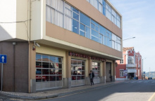
| AHBV Oliveira de Azeméis Donativo€ 10 |
|
| Pensão Anacleto |
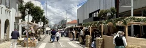
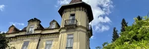
From here, all the way to Porto and 20km beyond, is a nearly continuous stretch of developed land. There are a few exceptions through tranquil spaces, but those are the exception.
As with most large towns, the arrows and shells get a bit lost in all of the visual distractions.
The main square (the Praça Luís Ribeiro) is not a square at all but rather a large roundabout re-purposed for pedestrians. It is recognizable for the large column sculpture in the center; a monument celebrating the industry of São João.
The best museum in town and the only one of its kind on the Iberian peninsula is the Museu da Chapelaria (Hat Making Museum). It is on the way out of town, is quite poorly advertised and looks closed to the casual passerby. It is not, and you would be mad to miss it.
São João da Madeira’s growth at the end of the 19th century was the result of a single industrial effort, that of making hats. They were first made with felt, and later fur, and when hat wearing fell out of fashion the workers shifted to making shoes. It is now considered the capital of shoes.
Leave town from the Praça Luís Ribeiro along the Rua Antonio Jose de Oliveira Junior.
It is more suburban walking from here to Arrifana.
Accommodation in São João da Madeira.
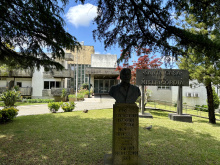
| Santa Casa da Misericórdia Donativo€ 12 |
|
| AHBV (Zona Industrial) São João da Madeira Donativo€ 70 |
| Solar São João |
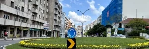
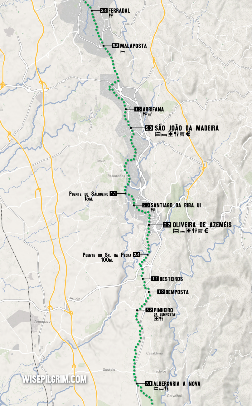
From the church, the camino goes up the cobbled pedestrian path to the left. That path gives way to a road which can be followed through residential zones. In winding through these neighborhoods, you will cross over the N227 via a road bridge about 2.6km from Arrifana. From this crossing, there are another 3.2 to Malaposta. Along the way you follow the N1 for most of those kilometers, leaving it to your right at the start of Malaposta.
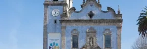
In Malaposta You will walk along the modern Rua Estrada Romana, so named because this stretch (like a few before it) was once a Roman road. Where the paved road ends, a section of the original road still exists. It is beautiful, but the Romans have neglected its repair for some time.
Keep on straight along the stretch of timeworn road and straight from it too.
Accommodation in Malaposta.
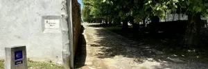
One bar along this residential strip. The camino passes straight through and eventually rejoins the N1 in Vergada.
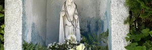
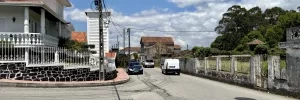
The village proper is located off of the camino; included for the beds available at the Bombeiros.
Accommodation in Lourosa.
| AHBV Lourosa Donativo€ 100 |
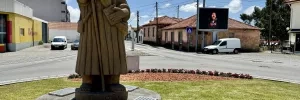
Vergada is strung along the N1. On its way out of town, the camino crosses the N1 at a 4-way intersection.
The stretch ahead has a few more quiet parts and passes underneath the A1 superhighway before arriving in Grijó.
The natural setting surrounding Grijó is the prettiest for a long stretch, high walls and lots of well-shaded spaces. The Monastery here is a particularly pretty place for a rest.
Accommodation in Grijó.
| Albergue São Salvador de Grijó 10€ 24 |
|
| Pensão Sobreiro Grosso |
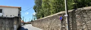
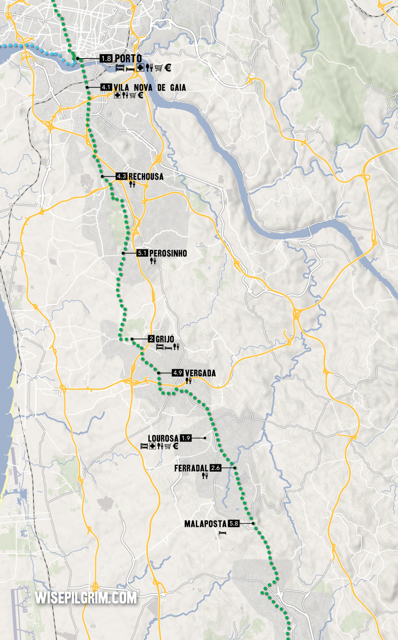
Porto, just across the river, is famous for its Port wines. Vila Nova, on the other hand, is famous for the caves in which the wine is stored during its aging; most of the distillers offer tastings and tours. The municipal gardens here, the Jardim do Moro, are a good place to rest before advancing into Porto.
Upon arriving in Vila Nova de Gaia you are presented with a large roundabout and tram terminal. Continue along the tram line; it is a straight walk all the way to Porto.
When you get to the end of town, the bridge over the Rio Douro has two crossings. The upper crossing will take you to the Sé Cathedral in Porto, and the lower one will take you to the riverfront in Porto. It is advisable to check the location of your accommodation before choosing which way to go, as taking the lower route (which is the marked trail) will require you to make up the elevation difference later.
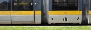
Porto is half the size of Lisbon, and twice as wonderful. It sits perched on the hillside on the north bank of the Rio Douro and has a historic center that would take two days minimum for only a casual stroll. If you plan on having a rest day, this is the town to do it in. If you had not planned on a rest day but had a long walk into Porto keep in mind that they way out of town is an arduous one too.
In Porto the buildings to see are the Igreja do São Pedro dos Clerigos and it's adjoining tower (5€, but the view from the top is unparalleled and 360°; don't bring your backpack with you as the 200 steps to the top are a tight enough squeeze as it is), the Igreja do Carmo (unassuming from the outside but spectacular inside), and of course the Sé do Porto (the Cathedral of Porto is one of the oldest surviving building in the city).
If you entered town along the upper bridge crossing you will have missed the Cais da Ribeira, the riverside boardwalk popular with tourists and locals alike. Somewhat overpriced but the atmosphere makes up for it.
Before you set off be certain to pick up a pilgrim’s credencial if you have not already done so. It can be found at the Sé Cathedral. This accordion-fold booklet is your passport to the camino and will become your most cherished souvenir of the trip. It is a required document in most pilgrim-specific accommodation, earns you pilgrim prices in many museums, and will serve as proof of your journey when presented to the Pilgrim Office in Santiago if you are planning on getting your Compostela Certificate.
As large towns go, Porto is no different when it comes to finding the camino. In fact, it is complicated somewhat by the fact that there are three different caminos between here and Santiago, be aware that you may see signs indicating the ‘Coastal Route’ or the ‘Braga Route,’ or the ‘Central Route’; amongst others.
Porto has a nice nickname among Portuguese historians, who call it The Unvanquished City for having resisted the unlawful siege by King Miguel I. He wasn’t too keen on implementing the liberal constitution that was drafted after a local rebellion but after 18 months of attacking the city he abdicated the throne and the constitution was restored. It was a victory for the Enlightenment and those who sought to distance themselves from the traditional Roman Catholic values.
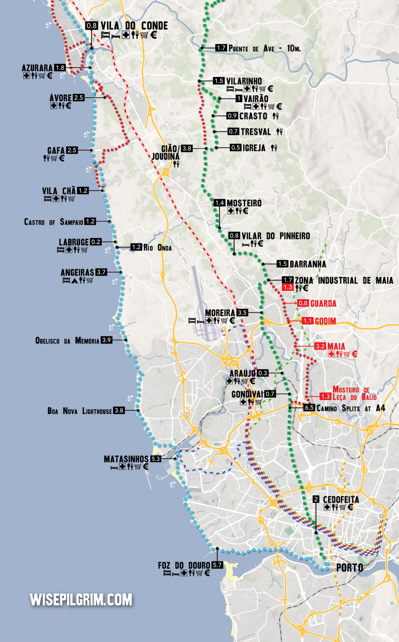
Between Porto and the border with Spain, the camino splits into three distinct routes. They are known as the Central Way, the Coastal & Litoral Ways, and the Braga Way. Additionally, there are several paths that connect each of these options, creating a network of trails that can sometimes seem confusing. The best plan is to pick one of the options and simply follow it to its natural end.
Leaving a large city is often a challenging combination of searching for arrows, heavy traffic, and durable city pavements. As an alternative, it is possible to take the Porto Metro to the city limits or beyond.
THE CENTRAL WAY
The Central Way is currently the most popular and well-developed option. As the name implies, the route continues due north from Porto up the center of Portugal. It crosses into Spain at Valença/Tui and continues from there through Redondela to Santiago.
THE COASTAL and LITORAL WAYS
The Coastal Way is gaining in popularity as the infrastructure and signage improve. It is sometimes referred to as the Senda Litoral, although this name is technically reserved for the sections of the route that strictly follow the coast. As the primary motivation for choosing the route is the proximity to seaside views, the route set out in this book is a combination of these two routes and the blue line indicated on the map should be interpreted as such. It leaves Porto along the Litoral Route, rather than sharing the first day of walking with the Central Way before turning westward. Where options exist they are indicated on the inset maps. The route passes through Vigo and rejoins the Central Way in Redondela.
THE BRAGA WAY
Some would consider this the original way, as it passes through the city of Braga where many of the Church's earliest decisions regarding Santiago were made, and where the first Bishop ordained by Santiago (Saint Peter of Braga/Rates) officiated. It was once the capital of Galicia and remains an influential city and massive tourist attraction. These days the infrastructure along the route has not kept pace with the needs of pilgrims and it is seldom traveled. Tours to Braga can be arranged in Barcelos (on the Central Way) if you wish to visit the city. This route is not included in this guide.
THE VARIANTE ESPIRITUAL
The Variante Espiritual is a popular alternative route north of Pontevedra. It is a two day walk which ends in a 29km boat ride to the town of Pontecesures.
Accommodation in Porto.
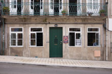
| Albergue de peregrinos Porto 16€ 52 |
|
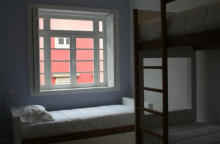
| Spot Hostel 20+€ 42 Booking.com |
|
| The Poets Inn Booking.com |

|
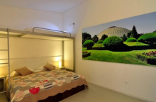
| Gallery Hostel 22*€ 40 Booking.com |
|
| Porto Lounge Hostel 17*€ 26 Booking.com |

|
| Albergue de Peregrinos da Senhora da Hora 12€ 20 |
|
| AHBV Porto Donativo€ 2 |
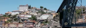
The sprawl from the center of Porto runs all the way to Gião, where a revision to the camino takes you mercifully off of the road and to Vairão where a more tranquil walk resumes. That is a stretch of 25km, more than enough walking given the terrain. It is not uncommon for pilgrims to bypass much of this sprawl by taking the metro to the suburb of Araújo.
The easiest starting point for leaving the city is the Cathedral. With your back to its main door (facing west) pass the tower, keeping it on your right and follow the ramp downhill. Jog left then right around the building that is at the bottom of the ramp and then look to your left for a set of stairs that take you down to the plaza in front of the Church of São Lourenço (until the 1750’s a Jesuit Church, and thereafter it was purchased by the Order of Saint Augustine, who brought with them from Lisbon the nickname ‘brothers of the site of cricket’, at which time the church became known simply as Grilos).
With your back to this São Lourenço, take the left most street (Rua de Santa Ana) to the intersection with Rua da Bainharia and turn left. Mere meters later, turn right. You will cross the Rua Mouzinho de Silveira, keep on straight here and turn right at the next street, the Rua das Flores (recognizable for a small square and the church at the far end). Beyond that church (the Igreja da Misericórdia) turn left against road traffic on the first street, the Rua do Ferraz. It is uphill and straight to Rua da Vitória, turn right when you get there. You will now be walking with traffic. At the next junction, turn left against traffic onto the Rua dos Caldeireiros.
At the top turn right into the square. There is a park opposite you, and you will walk through a small section on the right side. If you doubt the direction, remember that you are going to pass over the tram lines. You can follow those tram lines as they pass the statue of Ramalho Ortigão and around the University building on your right. They lead to the square and fountain of Leitao. Keep in the same direction, straight through this square (there will be two conjoined churches on your left).
Straight ahead is the Plaza de Carlos Alberto, a triangle shaped square. Exit to the left onto Rua de Cedofeita. You have now arrived at a pedestrianized shopping zone of Cedofeita.
