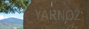
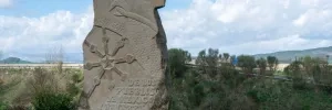
Accommodation in Somport.
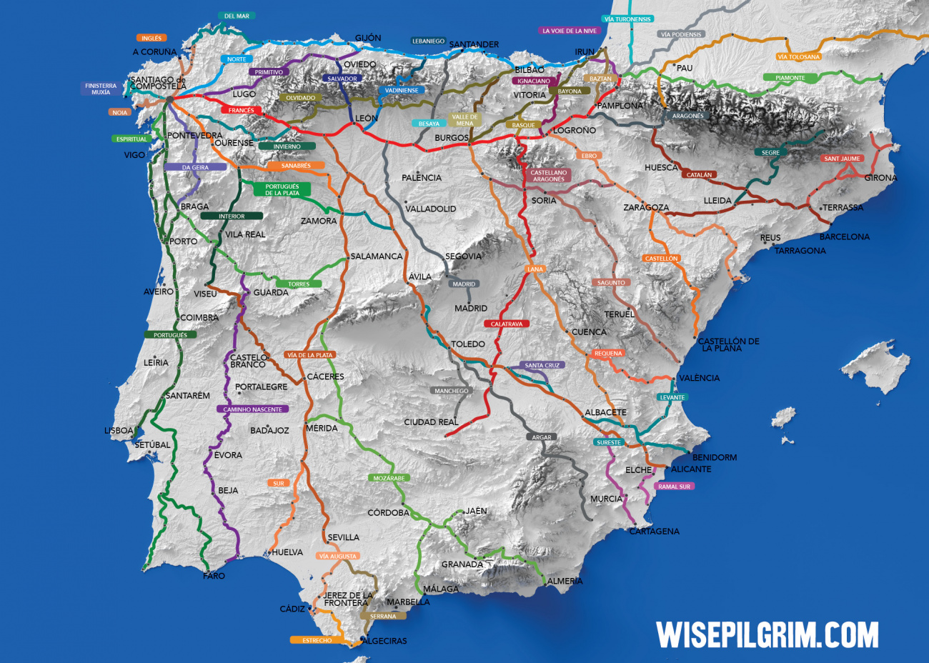
| Albergue Aysa 27*€ 40 |
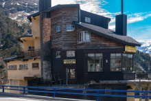
|
| Le Somport 12/15€ 12 |

Accommodation in Candanchú.
| Albergue Pepe Garcés 23*€ 48 |
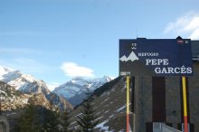
|

Accommodation in Villanúa.
| Albergue Juvenil Villanua 39*€ 125 |
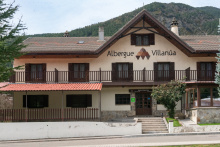
|

Accommodation in Jaca.
| Albergue de Peregrinos de Jaca 11€ 32 |
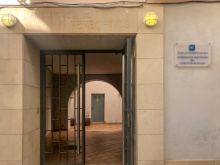
|


Accommodation in Santa Cilia.
| Albergue de Santa Cilia de Jaca 10€ 18 |

|

Accommodation in Arrés.
| Hospital de Peregrinos de Arrés Donativo€ 16 |
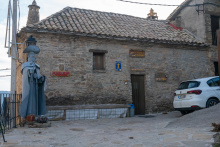
|

Accommodation in Tiebas.
| Albergue Concejo de Tiebas 12€ 14 |
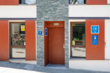
|

Octagonal 12th century Iglesia de Eunate.
The history of this ermita is still up for debate, and like most things in Spain are divided into two camps. Some believe it is of Knights Templar origin, and the rest believe it was a funeral chapel. Separate yourself from that intellectual debate and you will find a countryside setting with a small gem of architecture for you to contemplate.
SUMMER HOURS:
March 24th to June 30th
MON - SUN 10:30-14:00 / 15:00-19:00
July 1st to August 31st
MON - SUN 10:30-14:00 / 16:00-20:00
September 1st to October 14th
MON - SUN 10:30-14:00 / 15:00-19:00

Obanos is the real-life setting of a passion play that takes place here every even-numbered year at the end of July. It is a tragic tale of two saints.
The origins of the play are traced to the 14th century, when Santa Felicia, sister to the Duke of Aquitaine (San Guillén), left her home for a pilgrimage to Santiago.
The life suited her and when she arrived in Obanos she decided to devote herself to aiding pilgrims. Her brother set out on a mission of his own, that of bringing her back home with the lure of the comfortable lifestyle she had left behind. He was unable to do so, and in a fit of rage killed her.
Wracked with remorse, the young Duke decided to complete her pilgrimage in penitence. On his return journey, he holed up in the nearby hermitage of Arnotegui. He built a chapel there and continued the mission that his sister had begun.
The Iglesia de San Juan Bautista preserves the skull of Guillén.
The Mystery of Obanos - end of July on even numbered years, see history below.
Outside of Obanos, on the road to Puente la Reina, the Camino Aragonés joins the Camino Francés.

There are a pair of churches in town that are worthy of a peek. They are the Iglesia del Crucifijo (with a rather distinct crucifix) and the Iglesia de Santiago (with its black Santiago). The best view of the old bridge is from the new bridge.
The name of this town is rather romantically attributed to the benefactor of the bridge over the río Arga. It is a nice sentiment, but not an altogether accurate one. In fact, historians quibble over which 11th century Queen had it built. One thing is for certain, banditry continued to present a problem to the growing town, and in the 13th century a wall was built to protect it.
It was rectilinear in shape and was not much bigger than the current town, and little remains:
1. Calle Cerco, ‘cerco’ being the word for wall. Of the 26 original towers most have become part of private homes, the best visible example is the stonework inside Hotel Cerco.
2. The city gate which opens to the bridge. Of the original 4 doors, it is the only one that remains.
Puenta la Reina celebrates Santiago as their patron, from July 24th to July 30th. They also have a few harvest festivals in September, including one which celebrates the red peppers that are grown in the hills between here and Eunate.
The camino leaves Puente la Reina by passing over its namesake bridge. From there it turns left, crosses the main road, and follows a footpath. Shortly, it begins a short but steep ascent on slippery-when-wet terrain. It is not uncommon to find cyclists pushing their gear upwards.
Accommodation in Puente la Reina.
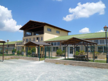
| Albergue De Peregrinos Santiago Apostol 12-14€ 100 Booking.com |
|
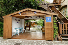
| Albergue Jakue 25€ 16 Booking.com |
|
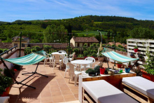
| Albergue Puente Para Peregrinos 16€ 32 Booking.com |
|
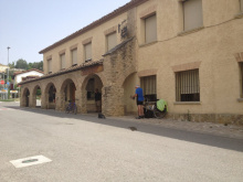
| Albergue de los Padres Reparadores 9€ 100 |
|

![Photo of Puente la Reina [Gares] on the Camino de Santiago Photo of Puente la Reina [Gares] on the Camino de Santiago](/sites/default/files/styles/100x300/public/newimages/840-200.jpg.webp?itok=0ovweJUp)
![Photo of Puente la Reina [Gares] on the Camino de Santiago Photo of Puente la Reina [Gares] on the Camino de Santiago](/sites/default/files/styles/100x300/public/newimages/840-133359.jpg.webp?itok=T_dlVy90)
