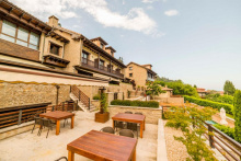
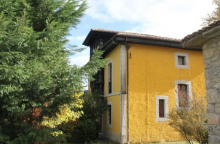
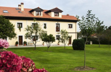
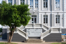
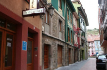
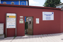
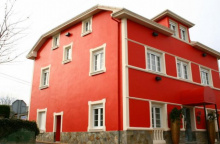
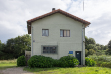
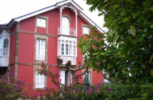
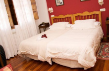
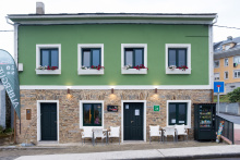
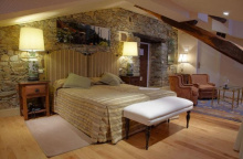
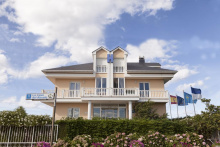
Continue straight through town along the main road parallel to the railway line. At the bridge over the Río Deva, turn right and cross the river into Asturias. On the other side arrows direct you left up the second street. From here you traverse the hillside directly into Colombres, the albergue is one of the first buildings in town.
Accommodation in Unquera.
Note that there is an albergue in Colombres but that in summer months it is frequently booked by student scout groups. The museum in town is excellent, if not to visit at least to walk the grounds.
The Indianos. The Museo de la Emigración in Colombres is an excellent collection in an incredible building. It captures the life of the Indianos, everyday Gallegos, Asturianos, Cantabrians, and Basques who because of their proximity to the sea were most able to emigrate from Spain to the Americas (central and south) during a period of great poverty in the late 19th century. A great many left but only a few struck it rich, and when they returned they turned their fortunes to building large manors and to securing titles. Many of the houses still remain and those in Asturias are the finest examples. They are sometimes colonial in style, and always eclectic with palm trees as a tribute to their tropical lives.
The Indianos also repaid their fortune by financing public works projects, and in Colombres the primary benefactors were responsible for bringing the village to a level or modernization seen only in the Asturian capital.
Accommodation in Colombres.
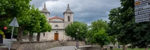
Roadside truck-stop adjacent to the two major roads.
The camino now crosses the N-634 and the A-8 at the start of Peral, ignore all arrows pointing you down the N-634 as new construction has eliminated the old pilgrim pathway. Once across the highways turn left down a gravel track to parallel the A-8. You will be on the north side of the highway and will need to get to the other side, though there is no dedicated crossing to do so. Exercise caution.
Accommodation in Peral.
When the camino returns to the N-634 things get a bit confusing. There are two routes here, one that follows the road all the way to Buelna and beyond and an alternative which follows the coastline. The second route is the preferred option for its safety and scenery but it can be difficult to locate.
To follow the coastal route cross the N-634 when you get to it and turn left to follow it towards Buelna. The turn off is almost immediate and the arrows to show the way are frequently covered over with black paint so look for either a yellow arrow or a mess of black paint. To your right is a small path that crosses the railway line. Follow this trail and it will bring you to Buelna.
The turn off is to the left, remember that in Asturias the shell symbols are typically oriented such that the ‘hinge’ of the symbol represents Santiago.
The albergue is down this side road a short distance. Beyond it the camino descends and then turns off to the right, crosses uphill through some forests and then zig-zags back down to the N-634. See notice below.
Accommodation in La Franca.
| Pensión La Casa Abajo Booking.com |
|
From Buelna you can again choose between the road and the coast. The road is evident, to get to the coast follow the signs for the E9 trail to Pendueles.
From Buelna you can again choose between the road and the coast. The road is evident, to get to the coast follow the signs for the E9 trail to Pendueles.
Accommodation in Buelna.
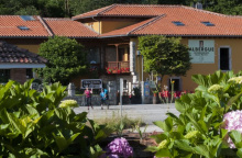
| Albergue de peregrinos Santa Marina 18€ 60 Booking.com |
|
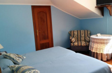
| Casa Rural de Aldea El Valle Booking.com |
|
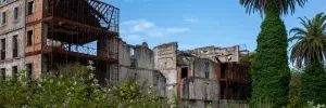
In the center of town is a Casa del Indiano left to the elements for what appears like the better half of a century, the only surviving element is, of course, the palm tree.
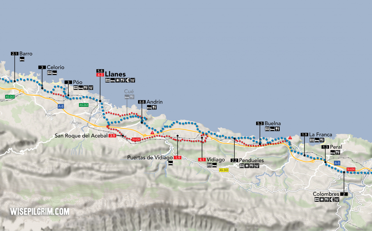
There are two routes between Pendueles and Llanes. The split between the two occurs shortly after you pass the Playa de Vidiago.
Option 1: The NEW camino along the coast through Andrín - 14.6
The new official camino between Pendueles and Llanes stays north of the A-8 and follows a slightly longer path. This route is both more scenic and more comfortable on your feet.
Option 2: The old camino through Vidiago - 14.2
This route, which until recently has been the official camino, was retired to keep pilgrims off of the main road. It is much more road walking than the new camino, however there is an albergue along this option.
Accommodation in Pendueles.
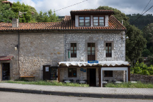
| Albergue Castiellu 30€ 8 |
|
| Albergue Aves de Paso Donativo€ 14 |
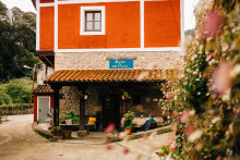
|
| Albergue Casa Flor 15€ 8 |
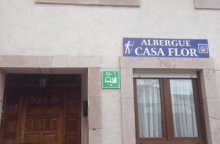
|
| Casa Rural La Casona de Paula |
Option 1: The NEW camino along the coast through Andrín - 14.6
The new official camino between Pendueles and Llanes stays north of the A-8 and follows a slightly longer path. This route is both more scenic and more comfortable on your feet.
In Andrín the camino zig zags uphill to join the LLN-2 on a pedestrian path to your right. Shortly after a sharp right-hand turn it leaves the road to the left to follow a mountain path to the entrance to Llanes. Alternatively you can stay on the road and pass through Cúe on the way to Llanes.
Accommodation in Andrín.
| Hotel Rural Andrín ⭑⭑⭑ |
Option 2: The old camino through Vidiago - 14.2
This route, which until recently has been the official camino, was retired to keep pilgrims off of the main road. It is much more road walking than the new camino, however there is an albergue along this option.
Accommodation in Vidiago.
| Albergue El Caserón de Vidiago 12€ 27 |
On the way into town you cannot help but notice the number of large Casas del Indiano. Most are well preserved, much like the old town center. Together they are the reason that tourism in Llanes remains so popular.
To the south are the Cantabrian mountains and the limestone caves which give culture to Cabrales, Spain’s finest blue cheese.
Take the time to wander among the throngs of tourists; many of who will also be getting turned around in the web of narrow streets trying to visit the Basílica Menor de Santa María de la Asunción de Llanes and the Capilla de Santa Ana.
The camino enters Llanes from the south along the Avenida de la Concepción and continues along it all the way to the Río Carrocedo. At the river, the streets are mostly for pedestrians only and the camino does not deviate from the road, it follows along through several name changes and the old town and passes the train station on the way out of town. Shortly after it leaves the road and turns left to cross the railway and continue along a path to Póo.
Accommodation in Llanes.
| Albergue La Estación 16-20€ 38 Booking.com |
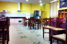
|
| Albergue La Casona del Peregrino 18-20€ 44 |
|
| Llanes Hostel 23€ 62 Booking.com |

|
| Pensión Los Pinos ⭑⭑ Booking.com |

|
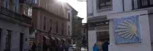
There is a beach just a short distance from the town center.
Póo straddles the AS-263 and the camino winds its way through town, crossing the main road to follow a coastal path known locally as the Senda Cicloturista to Celorio. Alternatively, it is possible to turn left to follow the AS-263 there.
Accommodation in Póo.
The Monasterio de San Salvador is not open for visitors, but the church occasionally is.
Celorio is well known for its enthusiastic festivals. There are three spread out during the months of July and August.
The first is in honor of the Virgen del Carmen and begins on the first Sunday after the 16th of July at the Iglesia de San Salvador; it involves a procession with the Virgen to the beach. One week before this there is the hoguera (bonfire), wherein the neighboring villages compete to erect the largest eucalyptus tree (chopped and hauled back to town) in the church square. The third is the día del bollu to celebrate the patron of the city San Salvador on the first Sunday of August; it puts the food in feast.
The route through Celorio is well marked, though if you wander off of it you may get turned around easily in the web of streets of this small village. If in doubt head towards the beach, which the camino passes on its way out of town along a coastal road.
Accommodation in Celorio.
In recent years the politicians of Barro have begun undoing a decade of illegal development; it is a rare sight to see new buildings torn down. By the time you pass through, there will be more green space near the beach.
For a quiet moment consider following the road out of town a bit further to visit the Iglesia de Nuestra Señora de los Dolores.
San Roque is celebrated on the 15th of August.
Passing through Barro, there are a beach and bar to your right just off the main road.
Further ahead at the end of town the camino turns left to leave the road; just past this turn is a small detour to visit the Iglesia de Nuestra Señora de los Dolores and the La Entrada beach, both located on the estuary. If you do go this way you can keep on the road which will rejoin the camino at the end of Niembru.
Accommodation in Barro.
The camino does not go through town, unless you followed the road from the church/beach. Between here and Naves the camino keeps to a quiet path along the hillside to the north. Before long it descends to rejoin the AS-263, and crosses the Río Bedón after passing the late Romanesque Monasterio de San Antolín de Bedón. It keeps to this road as it passes beneath the A-8 and then turns left to enter Naves along a back road.
Accommodation in Niembru.
| Pensión Toranda ⭑⭑ Booking.com |
Due north of Naves is the Playa Gulpiyuri. A detour of 600m will be rewarded by the unique inland beach and quite possibly the worlds smallest sea.
Santa Ana, patron of the village, is celebrated on the 26th of July. San Antolín on the first two days of September, and San Vicente on the 11th of November alongside San Martín.
The camino follows a course along paved back roads and trails to Villahormes and beyond and doesn’t return to the AS-263 until it arrives at Nueva.
Accommodation in Naves.
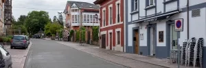
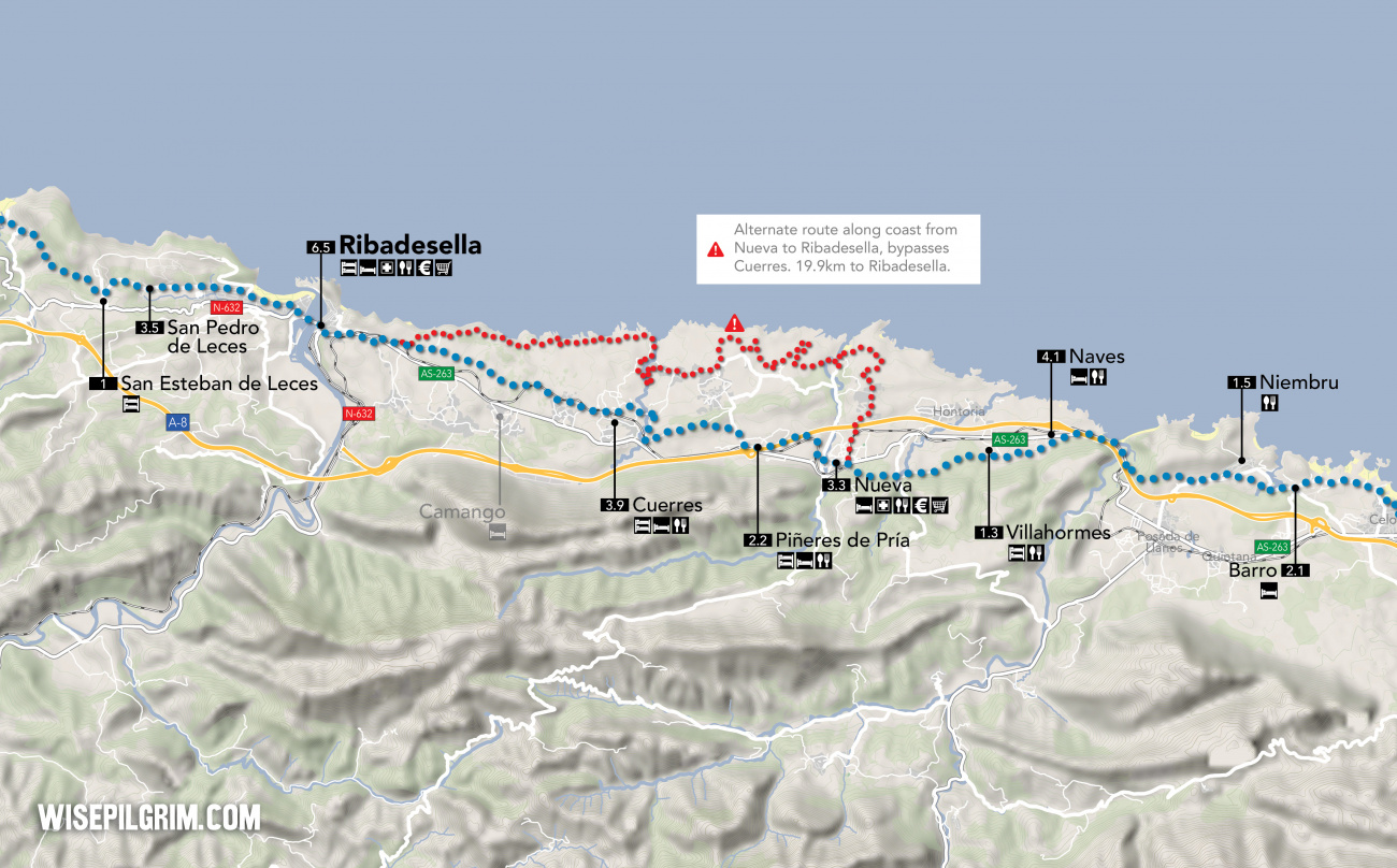
At the entrance to Nueva, an alternative coastal route starts.
April: San Jorge on the 23rd.
July: San Juan on the last weekend of the month.
August: Nuestra Señora del Henar on the 5th.
September: Santo Cristo del Amparo, a celebration of the highest quality, on the 13th and 14th. Also La Virgen de la Blanca on the 7th and 8th.
Between Nueva and Ribadesella the camino follows along a combination of quiet country roads and foot paths, passing through the villages of Piñeres and Cuerres. It returns to the AS-263 just before Ribadesella and follows it into the city.
Accommodation in Nueva.
Beware the signs for the Bici Route Bufones de Praía.
Accommodation in Piñeres de Pría.
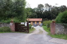
| La Llosa de Cosme 12*€ 10 |
|
| Albergue Casa Rectoral 10€ 50 |
Don’t miss a visit to the slightly off the camino Iglesia de San Mamés de Cuerres; it served as a pilgrim hostal in the 16th and 17th centuries and preserves a pretty great stone vault. In front is the Fuente de Peregrinos from the 16th century too.
San Antón is celebrated on the 17th of January.
Accommodation in Cuerres.
| Casa Rural Villalen ⭑⭑ |
Like most towns divided by a river, it is sometimes difficult to work up the strength to go exploring “the other side.” Ribadesella is that way, and if you stay on the east side of the river you will miss out on the wonderful Playa de Santa Marina.
On the other hand if you stay in the albergue you will be right on top of it but miss out on the old town with its many old manor homes, the Iglesia de Santa María Magdalena (which also served as a pilgrim hospital) and the Capilla Santa Ana, as well as a nice stroll to the top of Mount Corberu to visit the Ermita de Nuestra Señora de Guía (a 16th century Renaissance chapel).
When the Romans settled here they divided the population to form a town on each bank. When Alfonso X (the wise) came around in the 13th century he united them. As coastal towns go it was one of great natural wealth. Historically the townspeople have enjoyed the prosperity that comes from the river in the form of whaling (the whales hibernated here), salmon fishing, and logging.
San Antón is celebrated on the 17th of January, San Juan on the 24th of June, La Virgen de la Guia in July, and Santa Marina on the 25th of August.
The city of Ribadesella is bisected by the Río Sella, on the east back of which is the old town and the west bank its expansion along the beachfront. The camino crosses the river along the road and turns right once across. The arrows point the way along the beach through town.
At the far end of town it climbs slightly and begins to follow a country road as it traverses the hillside. It passes a roundabout and the campsite of Los Sauces and continues to San Pedro.
Accommodation in Ribadesella.
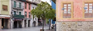
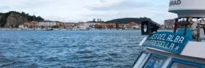
After passing through San Pedro the camino nears the town of Abeu, where there is a turn off to get to the albergue in San Esteban which is a short distance down the road.
Slightly off the camino and without any services in sight.
If you stayed at the albergue here retrace your steps to Abeu to resume the camino, turning left at the bend in the road to follow the left most trail.
Accommodation in San Esteban de Leces.
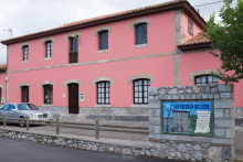
| Albergue de peregrinos de San Esteban de Leces 9€ 50 |
|
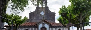
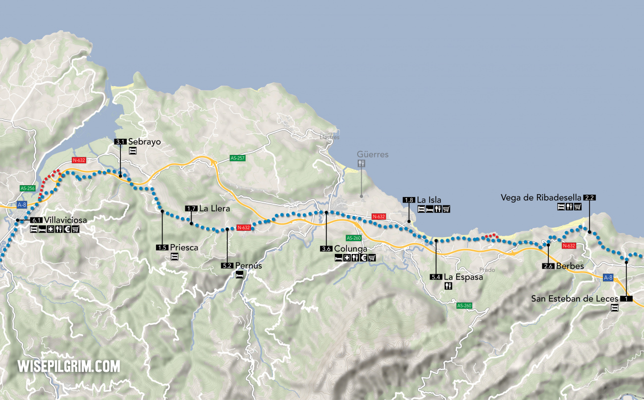
Vega is something of a hidden gem on the camino, a beach-side village with a rustic mountain vibe. A beach, some beach bars, a small shop and the Ermita de la Magdalena are all there is to see and do but they are just enough.
The camino descends through Vega de Ribadesella all the way to the beach, where it then climbs back up to Berbes, passing along the way a few hamlets without any services.
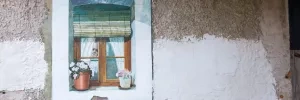
Straight through Berbes, crossing the N-632 but eventually following along it for a short distance. Leave the road for a trail to your right which takes you briefly uphill and then back down again to the beach and campsite at Moris. From here the camino follow a coastal trail to the beach of La Espasa.
La Espasa is essentially just a beach with a couple of restaurants along the promenade, as well as a public restroom and a kids park (in case you were looking for a flying fox).
The town of La Isla sits to the north of the N-632, and the camino does not technically pass through town. From the albergue in La Isla it is possible to get to Colunga via a coastal path that takes you through Güerres. Inquire at the albergue for more information.
The camino follows the beach here, at the far end of which is a bar and public restroom. Beyond that the camino crosses a small river and follows along the N-632.
At this point the camino follows along the N-632, leaving it on several occasions for safety but always returning to it.
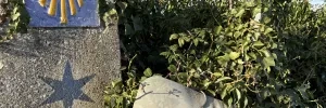
Not quite on the camino, but not quite off it either.
The town of La Isla sits to the north of the N-632, and the camino does not technically pass through town.
From the albergue in La Isla it is possible to get to Colunga via a coastal path that takes you through Güerres. Inquire at the albergue for more information.
At the start of La Isla, which itself sits at the edge of the camino, the camino turns left off the N-632 to follow a quiet road through a number of small hamlets. It rejoins the N-632 at the entrance to Colunga.
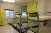
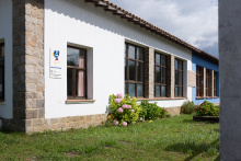
Accommodation in La Isla.
| Marejada Hostel 20*€ 35 |
|
| Albergue de peregrinos La Isla 8€ 22 |
|
The Capilla de Santa Ana is all that remains of the pilgrim hospital that once stood here. The old road through town, now known as the Calle del Doctor Grande Covián was once the Calle Real. It has always been the Camino de Santiago through town.
The Fiestas de Nuestra Señora de Loreto is held on the second Sunday in July.
At the far end of Colunga turns left to follow the AS-258, and then quickly thereafter it turns right at a fork to follow the CL-1. It follows this paved country road all the way to Pernús, passing under A-8 at the half way point. It nears several small hamlets.
The camino leaves the CL-1 only to pass the Church of San Pedro, but then continues to follow it to La Llera.
Accommodation in Pernús.
Again the camino leaves the road to pass the local church, this time dedicated to San Antolín. Again it resumes along the CL-1 to Priesca.
The 10th century Iglesia de San Salvador is one of the most significant examples of Pre-Romanesque architecture in Asturias. If it is locked up, and it most certainly will be, don’t just give up. A few of the locals have keys and if you ask around or get somebody’s attention enough to make the unlock gesture, it might be possible to wrangle a visit.
In Priesca, after visiting the church, the camino leaves the CL-1 briefly along a path to the right. It rejoins the road for a short distance not far ahead, but then leaves it for the last time along a trail to the left. This trail begins a road shortly after passing under the A-8 at the start of Sebrayo.
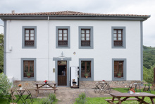
Accommodation in Priesca.
| La Rectoral de Priesca 15€ 22 |
|
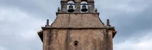
At the far end of Sebrayo turn left to pass under the A-8 and once on the other side turn right. Keep on this road. It will round the hillside to your left and come to an intersection where you have two options. The split occurs near a crossing for the A-8, and you can either continue straight along the course you have been following, or cross the A-8 to resume the walk into Villaviciosa along the N-632.
Accommodation in Sebrayo.
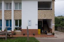
| Albergue de Sebrayo 5€ 14 |
|
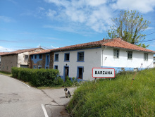
| La oveja negra Donativo€ 14 |
|
Accommodation in La Trocha.
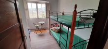
| Albergue La Casa de Montse Donativo€ 5 |
|
The town has been called Villaviciosa, an allusion to the fertility of the land, since the 14th century. It occupies a low valley south of the estuary and the rich land here supports a cattle and dairy industry, but perhaps more importantly it grows very good apples for the production of the sidra (the famous hard cider of Asturias). If you spot a sidrería stop in for a glass but mind the curious customs of drinking it: it is poured from a great height, bottle held high and glass held low, and usually behind the back, to get some air into the small amount which is to be consumed with haste. Don’t let it sit around!
The late-Romanesque/early-Gothic Iglesia de Santa María de la Oliva does not disappoint.
Santumedero de Sietes is celebrated on the 3rd of March. San Juan on the 24th of June, and Santiago on the 25th of July.
Pay close attention to the arrows through town. The camino follows a route which takes you past most of the more notable monuments, including the Ayuntamiento building, the monument to Carlos I, and the Iglesia de Santa María de la Oliva. At the church it turns left to follow the AS-255 out of town and to La Ferrería.
Accommodation in Villaviciosa.
In La Ferrería the camino leaves the road and crosses the Río de la Ria. On the other side of the small river is La Parra.
Follow the road through the small village, but turn right at the end of town to follow the VV-10 in the direction of Grases. Casquita, and an important split in the camino, are 1km away.
In Casquita the Camino del Norte splits twice. Pay extra close attention to which route you chose as not all of them rejoin later.
At the first split, just past the chapel at the start of the village and indicated by two shells on a post, you are presented with the option to leave the Camino del Norte and head towards Oviedo and the start of the Camino Primitivo. If you wish to follow that trail (not described here) turn left. Otherwise keep on straight to follow the official camino.
Shortly ahead is the second split. Here the camino simply presents an option to stay on the road instead of turning left onto a lane. Here the road option is shorter and does not pass through Niévares.
For Oviedo and the Camino Primitivo: Turn left at the fork in the road in the direction of Camoca. The camino passes through several small hamlets on before arriving in San Pedro de Ambás: El Ronzon, La Fontana, El Campu, El Pelu Riva, and La Cruz. After La Cruz, at a small intersection with a picnic table in the middle, the camino splits. The camino is to the left, and the alternate route via Valdedíos is to the right. This alternate route adds 700m hundred meters and rejoins the camino at the Alto de la Campa. If you miss this turn, and still want to go through Valdedíos, stay on the road when you get to San Pedro de Ambás and there are more arrows directing you to Valdedíos.
Beyond Niévares the camino joins the VV-8 and follows it to Peón.
Beyond Peón the camino leaves the VV-8 and begins climbing uphill. It rejoins a different road at the summit and descends along it as far as the El Pinal restaurant. Just beyond the restaurant it leaves the road for a trail on your right. From here it continues desceding to cross the A-8 and into Deva.
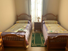
Accommodation in Peón.
| Albergue Peón 15*€ 30 |
|
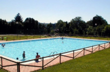
Most services available at the campsite.
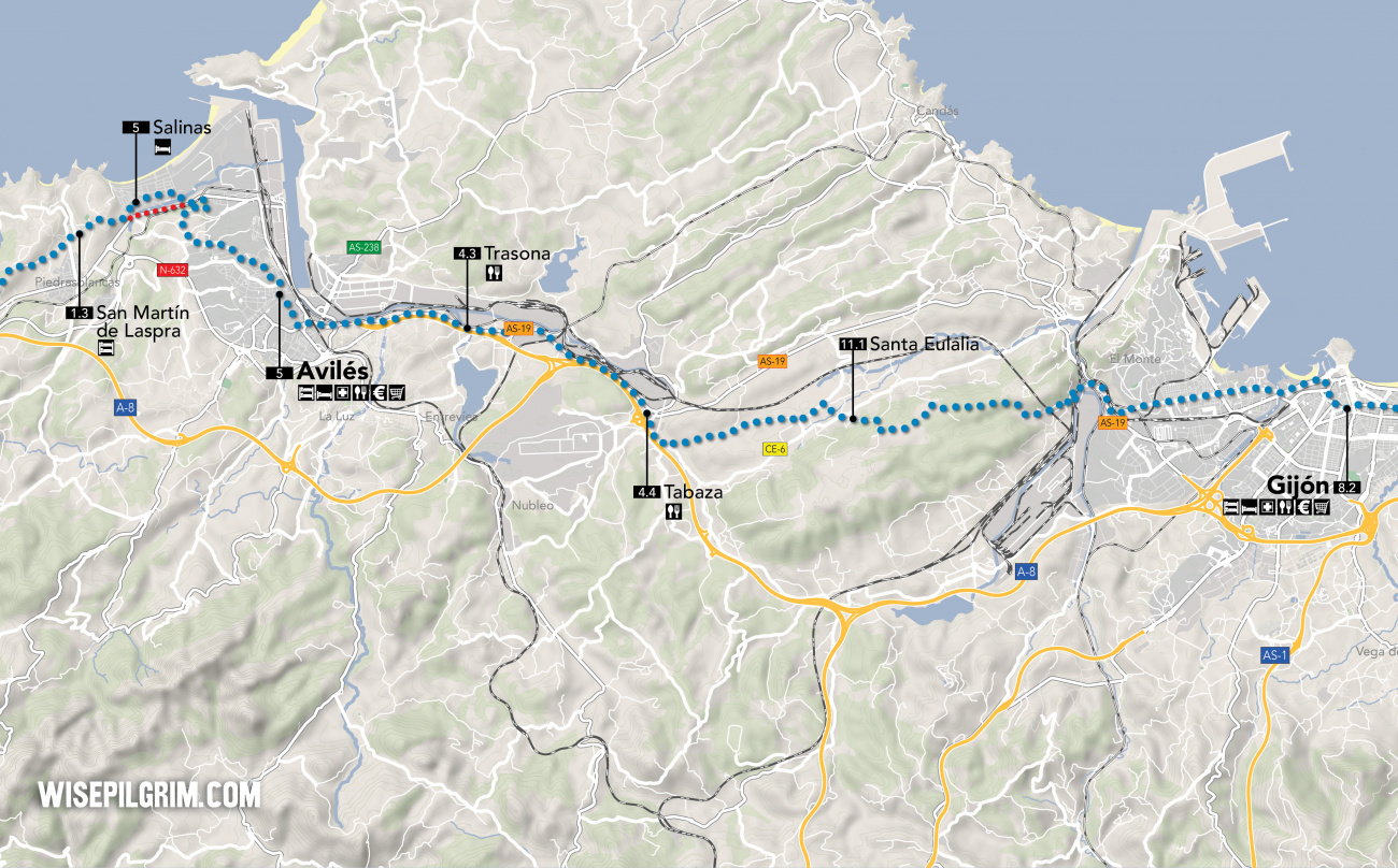
As you near the large and largely industrial city of Gijón the countryside virtually disappears. From here, all the way to Avilés, is difficult walking almost exclusively on pavement through city and industrial areas; the exception to the grime is the protected habitat west of the steel plant.
From the campsite in Deva there are two possible routes into Gíjon. The offical camino turns right at the campsite (with the campsite on your left). The alternative and some say more pleasant route along the river, turns left at the campsite and downhill past the parking lot. At the bottom of the hill it joins a path known as the Senda de Peña Francia, turn right when you get there. This alternative will bring you into Gíjon near the Playa de San Lorenzo. To get to the offical camino arrows simply follow the coast through town as far as the harbor where it passes.
Accommodation in Deva.
| Albergue and Camping Deva 7€ 36 Booking.com |
|
Gíjon marks the start of a long stretch of industrial city walking, the only highlight of which is the city center itself. The best sidrerías are in the oldest part of town so if you have not yet had the cider the time is running out.
The old town occupies the peninsula that divides the bay into two halves, with the Playa de San Lorenzo to the east and the Playa de Arbeyal to the west.
Within the old town you will find the Palacio de Revillagigedo (sadly just the exterior), the Centro de Cultura Antiguo Instituto, the Plaza Mayor, the Iglesia de San Pedro (take your time there), and the Termas Romanas de Campo Valdes (for a peek into the methods used by the Romans to build their thermal bath houses.
If that stuff bores you and you prefer green space, head to the north end of the peninsula to the Parque del Cerro. Set atop the old naval reinforcements the view is exceptional. Plus there is one bit of culture out there, the not-as-underwhelming-as-it-seems modern concrete sculpture that is known as Elogio Del Horizonte. It is not just for looks, step inside for the acoustic element made by echoes of the waves crashing. On your way back from the headland you’ll pass the Casa Natal de Jovellanos, and even if your knowledge of the Spanish Enlightenment is lacking the 18th century palace is a work of art itself.
To the west side of town when leaving you will pass the Gijón Aquarium and the Gijón Railway Museum.
The single most incredible building in Gijón is a bit off the beaten path but is most definitely worth a visit. It is the Laboral Ciudad de la Cultura, said to be the largest building in Spain and with the tallest tower in Asturias (modeled after the Giralda in Sevilla). It was completed in the 1950s by the Franco regime and meant to be a school, but by the 1990s it sat abandoned. It has since been restored and is used as a cultural center and by the University of Oviedo. If you’ve gone that far then go a bit further and enjoy the Jardin Botanico Atlantico just to the south.
The Romans called this place Gigio and it was their most important port on the northern coast.
San Pedro is celebrated on the 29th of June, as well as several other festivals celebrating Asturias and Cider throughout the year.
The best landmark to use when leaving Gíjon is the boat harbor. Follow along the coast, as far as the first residential apartment blocks to appear on your right-hand side. Pass to the right of the first building, heading down the Calle de Mariano Pola. Keep on this road as it changes names; first to the Avenida de Galicia then to the Avenida de la Argentina, and finally to the Carretera de Avilés. It is mostly straight with only a few bends and entirely city walking. By the time you get to the end of the city the view ahead reveals a massive steel production plant directly in front of you. The way around it the least pleasant stretch of the entire camino but there are no good options here. Descend to the road and turn right, following it around the factory. Keep an eye open for the turn off to the left which is not easy to notice with all of the traffic: it can be identified as being the only level railway crossing in the area and a sign points the way to Poago. Follow this road. It will eventually turn away from the factory and begin to wind up the hillside known as the Monte de Areo, the last part of the climb is along trails.
This hillside is the silver lining of the gray cloud cast by the nearby factory, it is the location of the oldest known necropolis in Asturias as well as a Neolithic dolmen. From the highest point the camino descends to Santa Eulalia.
Accommodation in Gijón.
Cross over the CE-6 and pass the church of Santa Eulalia. At the next large road, the CE-5, turn left. Keep straight on this smaller country road as it passes the sign to Los Celleros, a village that doesn’t appear to have any buildings. This stretch of country roads is the quietest until you get to Tabaza.
At Tabaza the camino begins to follow along the main road into Avilés, the next 9km are along it.
You will enter Avilés from the south and the municipal albergue is on your left-hand side when you get to the turn into the old town.
Avilés is a town deserving of a good wander. The old town is a well preserved knot of narrow cobbled streets, lined with multicolored homes sat atop limestone arcades, and which open up into pleasant squares; the Plaza de Espana and the Plaza de Mercado.
As monuments go the three main churches in town do not disappoint. Among them is the Iglesia de Santo Tomas de Canterbury, one of the few English Saints to have a church in Spain (there is another in Caldas de Rei on the Camino Portugués). The other two are the Iglesia de los Padres Franciscanos (San Francisco) and the Parroquia de San Nicolás de Bari.
There is also a wonderful little museum, the Museo de la Historia Urbana de Aviles (opposite San Francisco), which succeeds in painting a picture of the history of Avilés. It is small and well organized and takes less than an hour to take in.
Although Avilés can trace its roots to prehistoric times (see museum) it wasn’t until King Alfonso III recognized its importance as the premier Asturian Port that growth really kicked off, starting with defensive walls to keep the Normans out. The walls are gone, having lasted until 1818, but so too are the Normans.
One of the towns most famous seafarers, and there were many of them, is Pedro Menéndez de Avilés. He captured Fort Caroline in Florida from the French on the 20th of September and later founded the city of St. Agustín (whose feast is on the 20th, surprise surprise). Shortly after he became the first Governor of Florida in 1565.
The walk through Avilés, set upon the river, is due north. It is pleasant compared to the other side of town and the only real obstacle is a small but steep climb just before you get to Salinas.
Accommodation in Avilés.
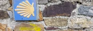
The camino does not near the beach on its path through Salinas, which is a pity because that is where the best restaurants and sidrerias are. The beach-side promenade runs the length of the 2.5km beach that is popular amongst surfers.
At the end of Salinas the camino begins one of the steepest and most challenging climbs of the camino. It is only 600m long but you will be glad to reach the Iglesia de San Martín at the top.
Accommodation in Salinas.
| Hostel El Pez Escorpión 20-25€ Booking.com |
| Las Dunas Hostel ⭑ |
From the high point of San Martín the camino goes down but right back up again to follow along the ridge of the hillside. It goes up and down a few times before climbing up to the church at Santiago del Monte.
Accommodation in San Martín de Laspra.
| Albergue San Martín de Laspra Donativo€ 12 |
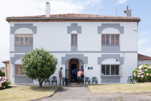
|
The camino from Santiago del Monte is along the road, winding uphill to pass beneath the A-81 after which it descends through the forest to El Castillo where it crosses the main road and climbs up to an overlook near the castle.
Accommodation in Linares.
| Albergue Turístico Ruralsurf 30€ 12 |
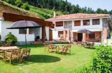
|
The camino from Santiago del Monte is along the road, winding uphill to pass beneath the A-81 after which it descends through the forest to El Castillo where it crosses the main road and climbs up to an overlook near the castle.
The town earns its name from the nearby Castillo de San Martín, which was an improvement on the castle that the Romans built in the same location.
Descending from the castle overlook the camino arrives at a roundabout littered with old arrows and new arrows. At this roundabout, which is now cut off by guard rails, the camino does NOT turn right. Instead it follows the road a bit longer to the next roundabout. At this roundabout it does NOT turn down the N-632 to Muros de Nalon, but rather takes the second exit to pass the hotel in Soto del Barco.
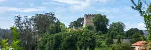
Past the Hotel Palacio de la Magdalena in Soto the camino continues down the old N-632, descending to the new N-632 bridge crossing over the Río Nalón. As it climbs back up keep an eye open for the arrows which take you off of the N-632 to your left which takes you through a neighborhood of Muros de Nalón where the albergue Casa Carmina (recommended for lunch or dinner) is located.
Beyond the albergue follow the road to cross over the N-632 via an elevated pedestrian bridge, passing through Muros.
Accommodation in Soto del Barco.
Located 2km off the camino, turn right after crossing the bridge onto the MU-1.
Accommodation in San Esteban de Pravia.
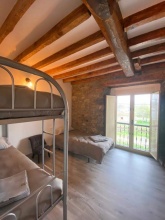
| Albergue Buen Camino 20€ 30 |
|
San Antonio is celebrated on the Sunday closest to the 13th of June, and La Virgen del Carmen on the 16th of July.
At the end of the park the camino crosses over the railway line and turns right onto the Calle Francisco Cabal parallel to the track and past the train station. It quickly returns to the forest, winding its way to El Pito.
Accommodation in Muros de Nalón.
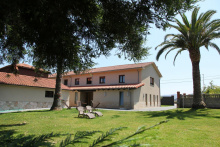
| Albergue Turístico Casa Carmina 15€ 28 Booking.com |
|
| Fali's Albergue - La Naranja Peregrina 18€ 12 |
|
| Albergue Camino de la Costa 15-16€ 19 |
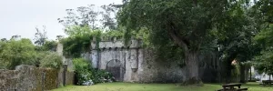
On your right when walking through town you will find the Quinta de El Pito, known also as the Versailles of Asturias. At the time of writing this it is unknown whether the foundation that manages this palatial estate (built by the very clever sons of the local grocer) will re-open the property for guests. If it is open, do not miss the visit, it is an absolute wonder inside and out.
The camino crosses through town along the main road, past the parks on your right, and the church on your left. Shortly past the church it turns off to the left and onto a road which becomes a path and dives through the forest again. It crosses beneath the railway track near El Peñedo.
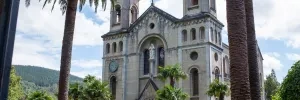
In El Peñedo the camino crosses the N-632 and continues to pass under the A-8. It follows a trail and small country roads at this point and will pass under both of these roads several more times as it passes through El Rellayo, and then again when you leave Rellayo.
Accommodation in El Peñedo.
The terrain near El Rellayo becomes a series of ascents and descents, and is seldom on a straigh course. It tries to follow a level elevation and you will often feel as if you are walking in a broad curve as you traverse several hillsides on the way to Mumayor.
Accommodation in El Rellayo.
| Casa Rural La Casona de Benito ⭑⭑ Booking.com |
|
Beyond Mumayor the camino traverses two more hillsides and then descends to a shallow valley and Soto de Luiña.
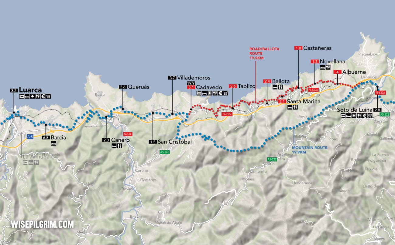
Option 1: Mountain Route - 19.9
This route is entirely mountain walking and is far and away the most scenic option. As the name suggests it takes you up to and along the ridge of the mountain. If you chose this route be sure to pack enough food and water as there are no services along the way. At the point where the camino splits, the Mountain Route turns left and begins to climb.
Option 2: Road / Ballota Route - 19.5
Although this route does not reach great heights, it does do a considerable amount of climbing and descending; it is essentially a long series of switchback shortcuts that parallel the road. A word of caution is in order. Because this route frequently joins the road it is necessary to keep a watch for all the arrows which take you away from it. Although you will reach your destination if you stay on the road, you will walk a great deal farther and do a lot more up and down. There are quite a few more services along this route. To follow it, simply keep to the road where the split occurs.
From Soto de Luiña there are two different routes to take. Both are well waymarked and the split is evident. It occurs along the road and there is a marker with two shells indicating which direction to go.
Option 1: Mountain Route - 19.9
This route is entirely mountain walking and is far and away the most scenic option. As the name suggests it takes you up to and along the ridge of the mountain. If you chose this route be sure to pack enough food and water as there are no services along the way. At the point where the camino splits, the Mountain Route turns left and begins to climb.
Option 2: Road / Ballota Route - 19.5
Although this route does not reach great heights, it does do a considerable amount of climbing and descending; it is essentially a long series of switchback shortcuts that parallel the road. A word of caution is in order. Because this route frequently joins the road it is necessary to keep a watch for all the arrows which take you away from it. Although you will reach your destination if you stay on the road, you will walk a great deal farther and do a lot more up and down. There are quite a few more services along this route. To follow it, simply keep to the road where the split occurs.
Accommodation in Novellana.
| Albergue Andén de Novellana 16€ 18 |
Turn at the sign for Playa del Silencio.
Accommodation in Santa Marina.
| Pensión Prada ⭑⭑ |
Cadavedo
If you enjoy the architectural styling of the Asturian hórreos (also known as paneras, those squarish corn cribs on conical stilts) you will be delighted to know that there are close to 100 of them scattered around the area. The local beach is a quick walk away.
La Fiesta de la Regalina, replete with traditional dances and costume, is held on the last Sunday of August.
From here the camino passes Villademoros, San Cristóbal, and Queruás along back roads and paths.
Accommodation in Cadavedo.
The patroness of the pueblo is Santa Ana, and the dual feasts of Santa Ana and Santa Anina are celebrated on the 26th and 27th of July.
From Queruás the camino follows farms roads towards and under the A-8, and then descends into Canero.
Accommodation in Queruás.
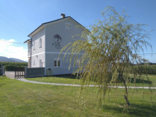
| Albergue Turístico La Yalga 21*€ 16 Booking.com |
|
Both the hotel and the bar are located outside of Canero, on the far end of town.
Arriving at the few industrial buildings that signal your arrival in Canero, the camino joins the N-632a briefly. It passes through a roundabout and over the river, and then resumes along a trail on your right. From here you begin climbing back out of the valley, and along the way you pass the hotel and restaurant adjacent to the road. It is possible to stay on the road from the hotel, but there are trails that shortcut the switchbacks in the road and which take you back up to (and under) the A-8. The majority of the walk between here and Barcia is along the N-634.
Accommodation in Canero.
| Albergue Playa de Cueva 12-15€ 18 |
Located off the camino, along the N-634.
Accommodation in La Almuña.
| Albergue de peregrinos de Almuña 5€ 22 |
From Barcia the walk is across gently rolling hills, though along paved country roads. There is a small descent into the east side of Luarca, which is located along a bend in the Río Negro.
After crossing the river you enter into the historic center of town, where the majority of the accommodation options and all of the charm are to be found.
Accommodation in Barcia.
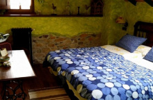
| Casa Rural La Fonte Booking.com |
|
On the way into Luarca take a pause to admire five of its finest Casas de los Indianos; immediately on the camino are the Villas Excelsior, Cristina, Rosario, Argentina, and Barrera.
Being a river city the monuments, beaches and accommodations in Luarca are on both side; it is a crooked river and there are several crossing points. As usual, the best views are a hike away to the headland where you will find the faro (lighthouse) and the Capilla de la Atalaya.
The fiesta of Nuestra Señora del Rosario is celebrated on the 15th of August and San Timoteo is celebrated on the 22nd.
Leaving Luarca the camino climbs a bit, winding its way uphill though a residential expansion of the city. The road straightens out and levels off, and the camino follows it all the way to Otur. It crosses the N-634 along the way and when it passes through Otur (which is located on the N-634) it does so to the south of town.
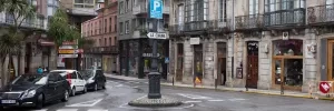
The camino keeps to this back road through Otur. It follows a not very straight path, and its twists and turns are designed to lessen the steepness of the climb up the Monte Faro. It doesn't climb all the way to the top thankfully, just far enough to get around the nearby A-8. The descent is steeper and brings you to the N-634 once again, which descends to the bottom of the shallow river valley and to Bao.
Accommodation in Otur.
| Camping Playa Otur Booking.com |
In Bao the camino follows the N-634 over the Río Barayu but quickly leaves it along a path on the left, charting a different course up this hillside to Villapedre.
In Villapedre the camino follows along the N-634, but only very briefly. Do not miss the arrow to your right which takes you back onto a country road and over the railway tracks. It is the quieter path to Piñera but does require you to cross back over the N-634 again.
Accommodation in Villapedre.
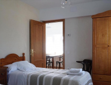
| Casa Leña Booking.com |
|
The roads in these parts, you may have noticed, are a web of country lanes which are not altogether very straightforward. Leaving Piñera you may or may not cross the railway line twice. But you will certainly return to the N-634 for a brief strech of walking along the road.
It leave to the right onto another path and passes through Villaoril.
Accommodation in Piñera.
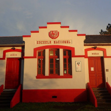
| Albergue de peregrinos de Piñera 8€ 24 |
|
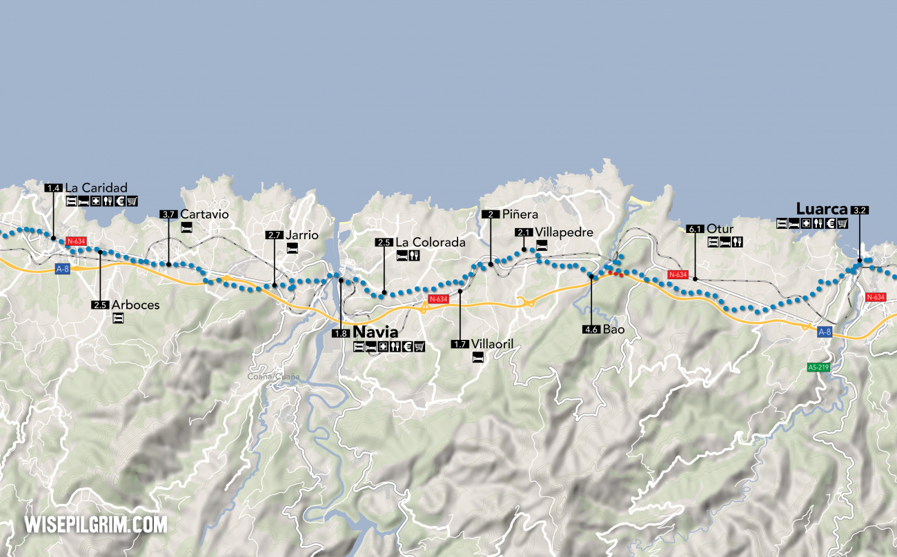
Continue along the country road that brought you into Villaoril all the way to La Colorada, where you are greeted by a gas station and several industrial warehouses on your left.
Accommodation in Villaoril.
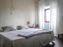
| Bed & Breakfast Ilab 5€ 20 Booking.com |
|
Bar at hotel.
Not far past the industrial buildings there are a few homes, and the camino turns left to take a quieter road to Navia.
Accommodation in La Colorada.
Nuestra Señora de La Barca is celebrated from the 14th to the 17th of August.
Beyond Jarrio the camino mostly avoids the N-634 and instead keeps to the countryside back roads. Once it crosses over the A-8 however that pattern changes, and it follows the main road into Cartavio. From Cartavio to La Caridad it then struggles to stay off the road, leaving for brief stretches but alway returning to it. In La Caridad, after passing the municipal albergue, it returns to the old N-634 through town.
Accommodation in Navia.
Beyond Jarrio the camino mostly avoids the N-634 and instead keeps to the countryside back roads. Once it crosses over the A-8 however that pattern changes, and it follows the main road into Cartavio. From Cartavio to La Caridad it then struggles to stay off the road, leaving for brief stretches but alway returning to it. In Cartavio, after passing the municipal albergue, it returns to the old N-634 through town.
Accommodation in Jarrio.
Accommodation in Arboces.
| Albergue de peregrinos de Arboces 5€ |
Legend has it that the town earned its name for the charity it showed to pilgrims during the mid 19th century. Prior to that it was known as San Miguel de Mohíces, hence the celebration in his name. Plenty of services in town for pilgrims.
San Miguel, patron of La Caridad, is celebrated on the 29th of September.
Market day is Tuesday.
The way through La Caridad is entirely along the old N-634 which will eventual meet up with the new N-634. Just before it does, the camino leaves both roads to follow a different road to the left. You will return to and cross the N-634 on the way into Valdepares, and you will then return to and cross it once more on the way out of Valdepares.
Accommodation in La Caridad.
There is not much happening in Valdepares these days, most of the homes are either empty or used seasonally. Nearby (on alternate route detailed below) is the Cabo Blanco with the remains of a Celtic castro.
From the church in Valdepares, where the camino turns left to cross over the N-634, it is possible instead to turn right and follow a coastal path in the direction of the ‘Castro y Mirador de Cabo Blanco.’ This path is certainly the long way around to Porcía (4.1km), but it does follow the headlands (with beach) and the views are magnificent.
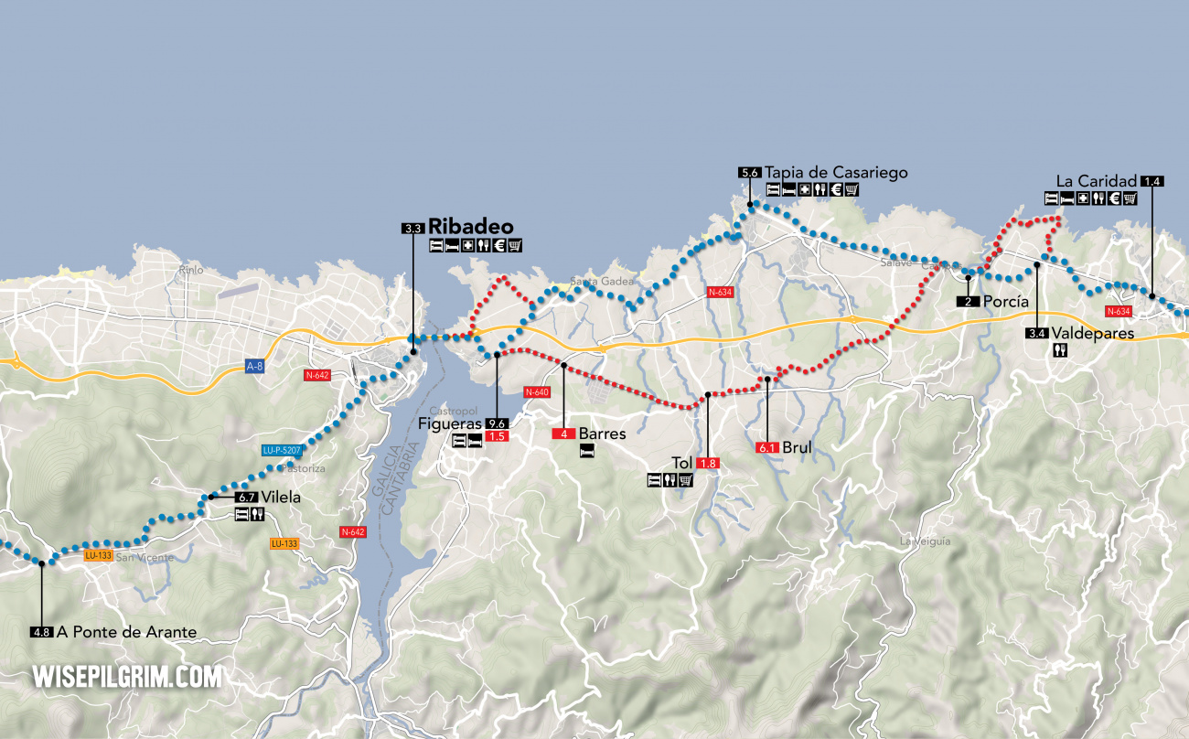
Option 1: Via Tapia de Casariego near coast - 15.2
The northern route takes you through Tapia de Casariego along the coast. To follow it keep straight at the fork, do not at any point cross back over the N-634.
Approximately 5.5km after La Caridad, after passing through Porcía, the camino again splits. Ahead are two distinct routes to Figueras, the last town in Asturias.
NOTE: The town of Figueras, with all the services, is technically along the southern route but not far from the end of the northern route. The albergue on the other hand is located on the northern route, not far from the southern route.
Option 1: Via Tapia de Casariego near coast - 15.2
The northern route takes you through Tapia de Casariego along the coast. To follow it keep straight at the fork, do not at any point cross back over the N-634.
Option 2: Via Tol - 13.4
The southern route takes you through four small towns and ends at the river town of Figueras where it rejoins the northern option. To take this route, turn left at the junction to cross over the N-634.
Option 2: Via Tol - 13.4
The southern route takes you through four small towns and ends at the river town of Figueras where it rejoins the northern option. To take this route, turn left at the junction to cross over the N-634.
Tapia is included here as being on the official camino because there are historical reasons to do so, and modern arrows make it easy. It is a medium-sized town built around a modest fishing port with plenty of options for food.
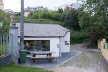
The municipal albergue here wins the award for best-views-without-a-climb but it is not large so get here early.
The Iglesia de San Esteban was built in 1898, making it almost brand new (and neo-gothic).
From Tapia to Figueras there are a few walking options, including several coastal variations that are not officially the camino. If you follow close to the coast you won’t get lost and it is a beautiful walk. It cannot help but bring you to Figueras, which is the riverside border town of Asturias.
Accommodation in Tol.
| Albergue de peregrinos de Tol 5-8€ 16 |
San Pedro is celebrated on the last weekend of July.
